Obersaifen geodata
Obersaifen (Styria) is a populated place; located in Austria in Europe/Vienna (GMT+2) time zone. With population of 831 people, there are 1554 cities with bigger population in this country. Compared to other cities in Austria, 64.5% of cities are located further ↑North; 74.2% of cities are located further ←West and 72.5% of cities have lower elevation than Obersaifen. Note1
Administrative division(s):
- Level 1: Styria
- Level 2: Politischer Bezirk Hartberg-Fürstenfeld
- Level 3: Pöllau


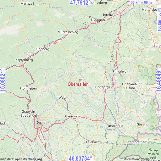
Obersaifen GPS coordinates[2]
47° 19' 0.012" North, 15° 46' 59.988" East
| Map corner | latitude | longitude |
|---|---|---|
| Upper-left | 47.7912°, | 15.08021° |
| Center: | 47.31667°, | 15.78333° |
| Lower-right: | 46.83784°, | 16.48646° |
| Map W x H: | 106×106 km | = 65.9×65.9mi |
| max Lat: | 48.98333° ⇑64.5% North |
| Obersaifen: | 47.31667° |
| min Lat: | ⇓35.5% South 46.48841° |
| min Long | Obersaifen | max Long |
| 9.57802° | 15.78333° | 17.1° |
| W 74.2%⇐ | ⇒25.8% E |
Elevation
Elevation of Obersaifen is 619 m = 2031 ft, and this is 113.5 m = 372 ft above average elevation for this country.
| Max E: |
2140 m = 7021 ft | 27.5% |
| Obersaifen | 619 m 2031 ft | |
| Avg. | 505.5 m = 1658 ft | |
Min E: |
118 m = 387 ft | 72.5% |
See also: Austria elevation on elevation.city.
Geographical zone
Obersaifen is located in North temperate zone (between Tropic of Cancer and the Arctic Circle). Distance of this North polar circle is 2140.1 km =1329.8 mi to North.| Distance of | km | miles | from Obersaifen |
|---|---|---|---|
| North Pole | 4745.9 | 2949 | to North |
| Arctic Circle | 2140.1 | 1329.8 | to North |
| Tropic Cancer | 2655.2 | 1649.9 | to South |
| Equator | 5261.1 | 3269.1 | to South |


Nearby cities:
15 places around Obersaifen: (largest is in red/bold)
• Anger
8.4 km =5.2 mi,  235°
235°
• Baierdorf-Umgebung
6.5 km =4 mi, 237°
• Birkfeld
8.4 km =5.2 mi,  296°
296°
• Floing
6.5 km =4 mi,  205°
205°
• Gschaid bei Birkfeld
7.3 km =4.5 mi, 302°
• Miesenbach bei Birkfeld
5.7 km =3.5 mi,  347°
347°
• Oberneuberg
6.3 km =3.9 mi,  90°
90°
• Prätis
3.9 km =2.4 mi,  33°
33°
• Pöllau
4.2 km =2.6 mi,  116°
116°
• Pöllauberg
5 km =3.1 mi, 90°
• Schachen bei Vorau
9 km =5.6 mi,  38°
38°
• Stubenberg
8.1 km =5 mi,  170°
170°
• Unterneuberg
5 km =3.1 mi, 90°
• Zeil
7.4 km =4.6 mi,  180°
180°
• Zeil-Pöllau
4.2 km =2.6 mi,  79°
79°
Sources, notices
• [Note1] Compared only with cities in Austria existing in our database
• [Src1] Map data: © OpenStreetMap contributors (CC-BY-SA)
• [Src2] Other city data from geonames.org with taken over terms of usage.
• [Src3] Geographical zone / Annual Mean Temperature by Robert A. Rohde @ Wikipedia
