Hochtregist geodata
Hochtregist (Styria) is a populated place; located in Austria in Europe/Vienna (GMT+2) time zone. With population of 1,129 people, there are 1127 cities with bigger population in this country. Compared to other cities in Austria, 79.3% of cities are located further ↑North; 56.5% of cities are located further ←West and 76.7% of cities have lower elevation than Hochtregist. Note1


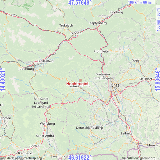
Hochtregist GPS coordinates[2]
47° 6' 0" North, 15° 7' 59.988" East
| Map corner | latitude | longitude |
|---|---|---|
| Upper-left | 47.57648°, | 14.43021° |
| Center: | 47.1°, | 15.13333° |
| Lower-right: | 46.61922°, | 15.83646° |
| Map W x H: | 106.4×106.4 km | = 66.1×66.1mi |
| max Lat: | 48.98333° ⇑79.3% North |
| Hochtregist: | 47.1° |
| min Lat: | ⇓20.7% South 46.48841° |
| min Long | Hochtregist | max Long |
| 9.57802° | 15.13333° | 17.1° |
| W 56.5%⇐ | ⇒43.5% E |
Elevation
Elevation of Hochtregist is 672 m = 2205 ft, and this is 166.5 m = 546 ft above average elevation for this country.
| Max E: |
2140 m = 7021 ft | 23.3% |
| Hochtregist | 672 m 2205 ft | |
| Avg. | 505.5 m = 1658 ft | |
Min E: |
118 m = 387 ft | 76.7% |
See also: Austria elevation on elevation.city.
Geographical zone
Hochtregist is located in North temperate zone (between Tropic of Cancer and the Arctic Circle). Distance of this North polar circle is 2164.1 km =1344.7 mi to North.| Distance of | km | miles | from Hochtregist |
|---|---|---|---|
| North Pole | 4770 | 2963.9 | to North |
| Arctic Circle | 2164.1 | 1344.7 | to North |
| Tropic Cancer | 2631.1 | 1634.9 | to South |
| Equator | 5237 | 3254.1 | to South |


Nearby cities:
15 places around Hochtregist: (largest is in red/bold)
• Bärnbach
3.2 km =2 mi,  187°
187°
• Geistthal
7.8 km =4.8 mi,  18°
18°
• Gradenberg
5.3 km =3.3 mi,  242°
242°
• Jaritzberg
9 km =5.6 mi,  101°
101°
• Kainach bei Voitsberg
5 km =3.1 mi,  324°
324°
• Kohlschwarz
2.2 km =1.4 mi,  325°
325°
• Köflach
5.3 km =3.3 mi,  225°
225°
• Maria Lankowitz
6.7 km =4.2 mi, 230°
• Piberegg
1.4 km =0.9 mi, 243°
• Pichling bei Köflach
7.5 km =4.7 mi,  219°
219°
• Rosental an der Kainach
5.4 km =3.4 mi, 189°
• Stallhofen
8.4 km =5.2 mi,  131°
131°
• Stiwoll
6.3 km =3.9 mi,  90°
90°
• Södingberg
3 km =1.9 mi,  74°
74°
• Voitsberg
6.4 km =4 mi,  166°
166°
Sources, notices
• [Note1] Compared only with cities in Austria existing in our database
• [Src1] Map data: © OpenStreetMap contributors (CC-BY-SA)
• [Src2] Other city data from geonames.org with taken over terms of usage.
• [Src3] Geographical zone / Annual Mean Temperature by Robert A. Rohde @ Wikipedia
