Grünbichl geodata
Grünbichl (Upper Austria) is a populated place; located in Austria in Europe/Vienna (GMT+2) time zone. With population of 587 people, there are 2180 cities with bigger population in this country. Compared to other cities in Austria, 88.4% of cities are located further ↓South; 52.8% of cities are located further →East and 52.6% of cities have higher elevation than Grünbichl. Note1
Administrative division(s):
- Level 1: Upper Austria
- Level 2: Politischer Bezirk Freistadt
- Level 3: Pregarten


Grünbichl GPS coordinates[2]
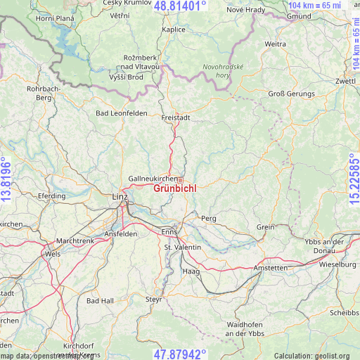
48° 20' 55.896" North, 14° 31' 21.792" East
| Map corner | latitude | longitude |
|---|---|---|
| Upper-left | 48.81401°, | 13.8196° |
| Center: | 48.34886°, | 14.52272° |
| Lower-right: | 47.87942°, | 15.22585° |
| Map W x H: | 103.9×103.9 km | = 64.6×64.6mi |
| max Lat: | 48.98333° ⇑11.6% North |
| Grünbichl: | 48.34886° |
| min Lat: | ⇓88.4% South 46.48841° |
| min Long | Grünbichl | max Long |
| 9.57802° | 14.52272° | 17.1° |
| W 47.2%⇐ | ⇒52.8% E |
Elevation
Elevation of Grünbichl is 436 m = 1430 ft, and this is 69.5 m = 228 ft below average elevation for this country.
| Max E: |
2140 m = 7021 ft | 52.6% |
| Avg. | 505.5 m = 1658 ft | |
| Grünbichl | 436 m = 1430 ft | |
Min E: |
118 m = 387 ft | 47.4% |
See also: Austria elevation on elevation.city.
Geographical zone
Grünbichl is located in North temperate zone (between Tropic of Cancer and the Arctic Circle). Distance of this North polar circle is 2025.3 km =1258.5 mi to North.| Distance of | km | miles | from Grünbichl |
|---|---|---|---|
| North Pole | 4631.2 | 2877.7 | to North |
| Arctic Circle | 2025.3 | 1258.5 | to North |
| Tropic Cancer | 2770 | 1721.2 | to South |
| Equator | 5375.9 | 3340.4 | to South |


Nearby cities:
15 places around Grünbichl: (largest is in red/bold)
• Doppl
8.1 km =5 mi,  155°
155°
• Engerwitzdorf
6 km =3.7 mi,  265°
265°
• Gallneukirchen
7.9 km =4.9 mi, 273°
• Hagenberg im Mühlkreis
2.2 km =1.4 mi,  348°
348°
• Haid
7.4 km =4.6 mi,  251°
251°
• Katsdorf
5 km =3.1 mi,  226°
226°
• Linzerberg
8.5 km =5.3 mi, 266°
• Loitzenberg
8.7 km =5.4 mi,  165°
165°
• Pregarten
1 km =0.6 mi,  46°
46°
• Ried in der Riedmark
8.7 km =5.4 mi,  177°
177°
• Schweinbach
7.5 km =4.7 mi,  262°
262°
• Tragwein
7.6 km =4.7 mi,  103°
103°
• Unterjosefstal
7.4 km =4.6 mi,  148°
148°
• Unterweitersdorf
4.6 km =2.9 mi,  296°
296°
• Wartberg ob der Aist
1.1 km =0.7 mi, 264°
Sources, notices
• [Note1] Compared only with cities in Austria existing in our database
• [Src1] Map data: © OpenStreetMap contributors (CC-BY-SA)
• [Src2] Other city data from geonames.org with taken over terms of usage.
• [Src3] Geographical zone / Annual Mean Temperature by Robert A. Rohde @ Wikipedia
