Peterborough geodata
Peterborough (South Australia) is a populated place; located in Australia in Australia/Adelaide (GMT+10.5) time zone. With population of 1,530 people, there are 3258 cities with bigger population in this country. Compared to other cities in Australia, 57.8% of cities are located further ↓South; 77.1% of cities are located further →East and 94% of cities have lower elevation than Peterborough. Note1


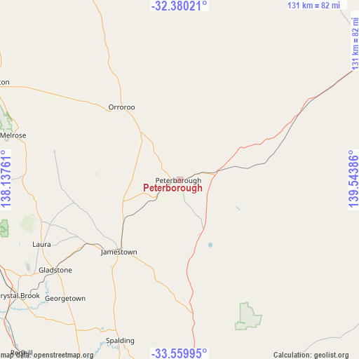
Peterborough GPS coordinates[2]
32° 58' 19.38" South, 138° 50' 26.628" East
| Map corner | latitude | longitude |
|---|---|---|
| Upper-left | -32.38021°, | 138.13761° |
| Center: | -32.97205°, | 138.84073° |
| Lower-right: | -33.55995°, | 139.54386° |
| Map W x H: | 131.2×131.2 km | = 81.5×81.5mi |
| max Lat: | -10.58257° ⇑42.2% North |
| Peterborough: | -32.97205° |
| min Lat: | ⇓57.8% South -43.31423° |
| min Long | Peterborough | max Long |
| 113.53327° | 138.84073° | 153.61246° |
| W 22.9%⇐ | ⇒77.1% E |
Elevation
Elevation of Peterborough is 537 m = 1762 ft, and this is 415 m = 1362 ft above average elevation for this country.
| Max E: |
1715 m = 5627 ft | 6% |
| Peterborough | 537 m 1762 ft | |
| Avg. | 122 m = 400 ft | |
Min E: |
-2 m = -7 ft | 94% |
See also: Australia elevation on elevation.city.
Geographical zone
Peterborough is located in South temperate zone (between Tropic of Capricorn and the Antarctic Circle). Distance of this Southern Tropic circle is 1060.2 km =658.8 mi to North.| Distance of | km | miles | from Peterborough |
|---|---|---|---|
| Equator | 3666.1 | 2278 | to North |
| Tropic Capricorn | 1060.2 | 658.8 | to North |
| Antarctic Circle | 3735 | 2320.8 | to South |
| South Pole | 6340.9 | 3940.1 | to South |


Nearby cities:
15 places around Peterborough: (largest is in red/bold)
• Burra
78.2 km =48.6 mi,  174°
174°
• Crystal Brook
72.4 km =45 mi,  234°
234°
• Gladstone
55.8 km =34.7 mi, 233°
• Jamestown
34 km =21.1 mi,  220°
220°
• Koomooloo
87.2 km =54.2 mi,  138°
138°
• Laura
55.5 km =34.5 mi,  244°
244°
• Napperby
70.6 km =43.9 mi,  253°
253°
• Orroroo
33.9 km =21.1 mi,  321°
321°
• Port Pirie
80.5 km =50 mi, 252°
• Port Pirie South
81 km =50.3 mi, 251°
• Port Pirie West
81.7 km =50.8 mi, 253°
• Risdon Park
82.7 km =51.4 mi, 252°
• Risdon Park South
83.1 km =51.6 mi, 251°
• Solomontown
79.7 km =49.5 mi, 252°
• Wilmington
78.1 km =48.5 mi,  297°
297°
Sources, notices
• [Note1] Compared only with cities in Australia existing in our database
• [Src1] Map data: © OpenStreetMap contributors (CC-BY-SA)
• [Src2] Other city data from geonames.org with taken over terms of usage.
• [Src3] Geographical zone / Annual Mean Temperature by Robert A. Rohde @ Wikipedia
