Koomooloo geodata
Koomooloo (South Australia) is a seat of a third-order administrative division; located in Australia in Australia/Adelaide (GMT+10.5) time zone. In our database, there are 4878 cities with bigger population. Compared to other cities in Australia, 52.9% of cities are located further ↓South; 76.4% of cities are located further →East and 75.3% of cities have lower elevation than Koomooloo. Note1


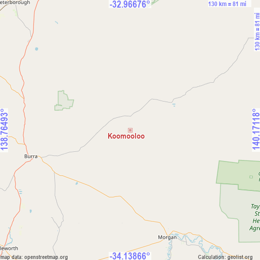
Koomooloo GPS coordinates[2]
33° 33' 16.92" South, 139° 28' 4.98" East
| Map corner | latitude | longitude |
|---|---|---|
| Upper-left | -32.96676°, | 138.76493° |
| Center: | -33.5547°, | 139.46805° |
| Lower-right: | -34.13866°, | 140.17118° |
| Map W x H: | 130.3×130.3 km | = 81×81mi |
| max Lat: | -10.58257° ⇑47.1% North |
| Koomooloo: | -33.5547° |
| min Lat: | ⇓52.9% South -43.31423° |
| min Long | Koomooloo | max Long |
| 113.53327° | 139.46805° | 153.61246° |
| W 23.6%⇐ | ⇒76.4% E |
Elevation
Elevation of Koomooloo is 134 m = 440 ft, and this is 12 m = 39 ft above average elevation for this country.
| Max E: |
1715 m = 5627 ft | 24.7% |
| Koomooloo | 134 m 440 ft | |
| Avg. | 122 m = 400 ft | |
Min E: |
-2 m = -7 ft | 75.3% |
See also: Australia elevation on elevation.city.
Geographical zone
Koomooloo is located in South temperate zone (between Tropic of Capricorn and the Antarctic Circle). Distance of this Southern Tropic circle is 1125 km =699 mi to North.| Distance of | km | miles | from Koomooloo |
|---|---|---|---|
| Equator | 3730.9 | 2318.3 | to North |
| Tropic Capricorn | 1125 | 699 | to North |
| Antarctic Circle | 3670.2 | 2280.6 | to South |
| South Pole | 6276.1 | 3899.8 | to South |


Nearby cities:
15 places around Koomooloo: (largest is in red/bold)
• Auburn
89.4 km =55.6 mi,  234°
234°
• Burra
51.6 km =32.1 mi,  255°
255°
• Cadell
60.4 km =37.5 mi,  153°
153°
• Clare
85.2 km =52.9 mi,  248°
248°
• Eudunda
77.7 km =48.3 mi,  207°
207°
• Gladstone
108 km =67.1 mi,  287°
287°
• Greenock
112 km =69.6 mi, 206°
• Jamestown
89 km =55.3 mi,  295°
295°
• Kapunda
100.9 km =62.7 mi, 210°
• Kingston
111 km =69 mi,  132°
132°
• Nuriootpa
110.4 km =68.6 mi,  203°
203°
• Peterborough
87.2 km =54.2 mi,  318°
318°
• Riverton
94.2 km =58.5 mi,  224°
224°
• Truro
100 km =62.1 mi, 198°
• Waikerie
84.5 km =52.5 mi, 145°
Sources, notices
• [Note1] Compared only with cities in Australia existing in our database
• [Src1] Map data: © OpenStreetMap contributors (CC-BY-SA)
• [Src2] Other city data from geonames.org with taken over terms of usage.
• [Src3] Geographical zone / Annual Mean Temperature by Robert A. Rohde @ Wikipedia
