Cadell geodata
Cadell (South Australia) is a populated place; located in Australia in Australia/Adelaide (GMT+10.5) time zone. With population of 541 people, there are 4743 cities with bigger population in this country. Compared to other cities in Australia, 59.8% of cities are located further ↑North; 76.2% of cities are located further →East and 68.6% of cities have higher elevation than Cadell. Note1


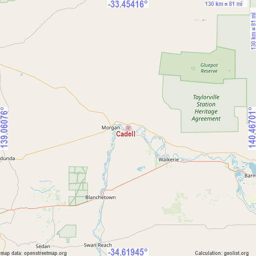
Cadell GPS coordinates[2]
34° 2' 19.716" South, 139° 45' 49.968" East
| Map corner | latitude | longitude |
|---|---|---|
| Upper-left | -33.45416°, | 139.06076° |
| Center: | -34.03881°, | 139.76388° |
| Lower-right: | -34.61945°, | 140.46701° |
| Map W x H: | 129.6×129.6 km | = 80.5×80.5mi |
| max Lat: | -10.58257° ⇑59.8% North |
| Cadell: | -34.03881° |
| min Lat: | ⇓40.2% South -43.31423° |
| min Long | Cadell | max Long |
| 113.53327° | 139.76388° | 153.61246° |
| W 23.8%⇐ | ⇒76.2% E |
Elevation
Elevation of Cadell is 24 m = 79 ft, and this is 98 m = 322 ft below average elevation for this country.
| Max E: |
1715 m = 5627 ft | 68.6% |
| Avg. | 122 m = 400 ft | |
| Cadell | 24 m = 79 ft | |
Min E: |
-2 m = -7 ft | 31.4% |
See also: Australia elevation on elevation.city.
Geographical zone
Cadell is located in South temperate zone (between Tropic of Capricorn and the Antarctic Circle). Distance of this Southern Tropic circle is 1178.8 km =732.5 mi to North.| Distance of | km | miles | from Cadell |
|---|---|---|---|
| Equator | 3784.8 | 2351.8 | to North |
| Tropic Capricorn | 1178.8 | 732.5 | to North |
| Antarctic Circle | 3616.4 | 2247.1 | to South |
| South Pole | 6222.3 | 3866.4 | to South |


Nearby cities:
15 places around Cadell: (largest is in red/bold)
• Angaston
83.6 km =51.9 mi,  232°
232°
• Barmera
68.6 km =42.6 mi,  110°
110°
• Berri
81.5 km =50.6 mi, 109°
• Burra
87.3 km =54.2 mi,  297°
297°
• Eudunda
64.4 km =40 mi,  256°
256°
• Glossop
76.2 km =47.3 mi, 110°
• Kapunda
84.8 km =52.7 mi,  246°
246°
• Kingston
58.1 km =36.1 mi, 111°
• Koomooloo
60.4 km =37.5 mi,  333°
333°
• Loveday
67.3 km =41.8 mi, 113°
• Loxton
87 km =54.1 mi,  121°
121°
• Monash
76.7 km =47.7 mi, 106°
• Nuriootpa
85.1 km =52.9 mi,  235°
235°
• Truro
71.5 km =44.4 mi, 234°
• Waikerie
25.9 km =16.1 mi,  127°
127°
Sources, notices
• [Note1] Compared only with cities in Australia existing in our database
• [Src1] Map data: © OpenStreetMap contributors (CC-BY-SA)
• [Src2] Other city data from geonames.org with taken over terms of usage.
• [Src3] Geographical zone / Annual Mean Temperature by Robert A. Rohde @ Wikipedia
