Batlow geodata
Batlow (New South Wales) is a populated place; located in Australia in Australia/Sydney (GMT+11) time zone. With population of 1,267 people, there are 3507 cities with bigger population in this country. Compared to other cities in Australia, 77.2% of cities are located further ↑North; 51.2% of cities are located further ←West and 98.9% of cities have lower elevation than Batlow. Note1


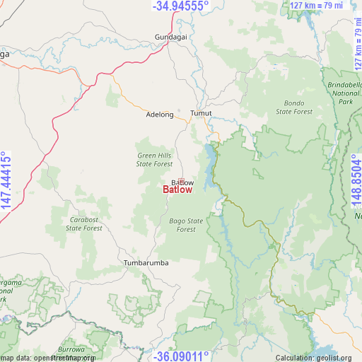
Batlow GPS coordinates[2]
35° 31' 11.532" South, 148° 8' 50.172" East
| Map corner | latitude | longitude |
|---|---|---|
| Upper-left | -34.94555°, | 147.44415° |
| Center: | -35.51987°, | 148.14727° |
| Lower-right: | -36.09011°, | 148.8504° |
| Map W x H: | 127.3×127.3 km | = 79.1×79.1mi |
| max Lat: | -10.58257° ⇑77.2% North |
| Batlow: | -35.51987° |
| min Lat: | ⇓22.8% South -43.31423° |
| min Long | Batlow | max Long |
| 113.53327° | 148.14727° | 153.61246° |
| W 51.2%⇐ | ⇒48.8% E |
Elevation
Elevation of Batlow is 779 m = 2556 ft, and this is 657 m = 2156 ft above average elevation for this country.
| Max E: |
1715 m = 5627 ft | 1.1% |
| Batlow | 779 m 2556 ft | |
| Avg. | 122 m = 400 ft | |
Min E: |
-2 m = -7 ft | 98.9% |
See also: Australia elevation on elevation.city.
Geographical zone
Batlow is located in South temperate zone (between Tropic of Capricorn and the Antarctic Circle). Distance of this Southern Tropic circle is 1343.5 km =834.8 mi to North.| Distance of | km | miles | from Batlow |
|---|---|---|---|
| Equator | 3949.4 | 2454 | to North |
| Tropic Capricorn | 1343.5 | 834.8 | to North |
| Antarctic Circle | 3451.7 | 2144.8 | to South |
| South Pole | 6057.6 | 3764 | to South |


Nearby cities:
15 places around Batlow: (largest is in red/bold)
• Adelong
24.9 km =15.5 mi,  343°
343°
• Bourkelands
83.1 km =51.6 mi,  299°
299°
• Chapman
82.7 km =51.4 mi,  77°
77°
• Corryong
78.5 km =48.8 mi,  196°
196°
• Duffy
82.8 km =51.4 mi, 75°
• Forest Hill
74.3 km =46.2 mi, 303°
• Gundagai
50.9 km =31.6 mi,  355°
355°
• Holbrook
78.4 km =48.7 mi,  253°
253°
• Kooringal
81.6 km =50.7 mi, 301°
• Lake Albert
79.6 km =49.5 mi, 299°
• Rivett
82.9 km =51.5 mi, 76°
• South Gundagai
48.9 km =30.4 mi,  354°
354°
• Tatton
82 km =51 mi, 299°
• Tumbarumba
31.2 km =19.4 mi, 203°
• Tumut
24.6 km =15.3 mi,  15°
15°
Sources, notices
• [Note1] Compared only with cities in Australia existing in our database
• [Src1] Map data: © OpenStreetMap contributors (CC-BY-SA)
• [Src2] Other city data from geonames.org with taken over terms of usage.
• [Src3] Geographical zone / Annual Mean Temperature by Robert A. Rohde @ Wikipedia
