West Beach geodata
West Beach (Western Australia) is a section of populated place; located in Australia in Australia/Perth (GMT+8) time zone. With population of 1,407 people, there are 3360 cities with bigger population in this country. Compared to other cities in Australia, 54.8% of cities are located further ↑North; 88.9% of cities are located further →East and 57.4% of cities have lower elevation than West Beach. Note1


West Beach GPS coordinates[2]
33° 52' 28.704" South, 121° 53' 24.468" East
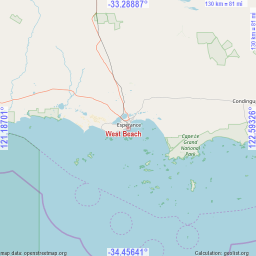
| Map corner | latitude | longitude |
|---|---|---|
| Upper-left | -33.28887°, | 121.18701° |
| Center: | -33.87464°, | 121.89013° |
| Lower-right: | -34.45641°, | 122.59326° |
| Map W x H: | 129.8×129.8 km | = 80.7×80.7mi |
| max Lat: | -10.58257° ⇑54.8% North |
| West Beach: | -33.87464° |
| min Lat: | ⇓45.2% South -43.31423° |
| min Long | West Beach | max Long |
| 113.53327° | 121.89013° | 153.61246° |
| W 11.1%⇐ | ⇒88.9% E |
Elevation
Elevation of West Beach is 58 m = 190 ft, and this is 64 m = 210 ft below average elevation for this country.
| Max E: |
1715 m = 5627 ft | 42.6% |
| Avg. | 122 m = 400 ft | |
| West Beach | 58 m = 190 ft | |
Min E: |
-2 m = -7 ft | 57.4% |
See also: Australia elevation on elevation.city.
Geographical zone
West Beach is located in South temperate zone (between Tropic of Capricorn and the Antarctic Circle). Distance of this Southern Tropic circle is 1160.6 km =721.2 mi to North.| Distance of | km | miles | from West Beach |
|---|---|---|---|
| Equator | 3766.5 | 2340.4 | to North |
| Tropic Capricorn | 1160.6 | 721.2 | to North |
| Antarctic Circle | 3634.7 | 2258.5 | to South |
| South Pole | 6240.6 | 3877.7 | to South |


Nearby cities:
15 places around West Beach: (largest is in red/bold)
• Boulder
345.9 km =214.9 mi,  353°
353°
• Broadwood
345.4 km =214.6 mi, 353°
• Castletown
5.3 km =3.3 mi,  26°
26°
• Coolgardie
332 km =206.3 mi, 348°
• Esperance
1.7 km =1.1 mi,  4°
4°
• Hopetoun
163 km =101.3 mi,  267°
267°
• Kambalda East
297.5 km =184.9 mi,  356°
356°
• Kambalda West
298.2 km =185.3 mi, 355°
• Lake Grace
329 km =204.4 mi,  285°
285°
• Norseman
186.7 km =116 mi, 356°
• Nulsen
2.4 km =1.5 mi,  324°
324°
• Pink Lake
3.8 km =2.4 mi,  311°
311°
• Ravensthorpe
173.5 km =107.8 mi,  280°
280°
• Sinclair
2.1 km =1.3 mi, 306°
• Stoneville
334.7 km =208 mi, 358°
Sources, notices
• [Note1] Compared only with cities in Australia existing in our database
• [Src1] Map data: © OpenStreetMap contributors (CC-BY-SA)
• [Src2] Other city data from geonames.org with taken over terms of usage.
• [Src3] Geographical zone / Annual Mean Temperature by Robert A. Rohde @ Wikipedia
