Ravensthorpe geodata
Ravensthorpe (Western Australia) is a populated place; located in Australia in Australia/Perth (GMT+8) time zone. With population of 516 people, there are 4827 cities with bigger population in this country. Compared to other cities in Australia, 52.8% of cities are located further ↓South; 89.5% of cities are located further →East and 83.6% of cities have lower elevation than Ravensthorpe. Note1


Ravensthorpe GPS coordinates[2]
33° 34' 58.908" South, 120° 2' 48.768" East
| Map corner | latitude | longitude |
|---|---|---|
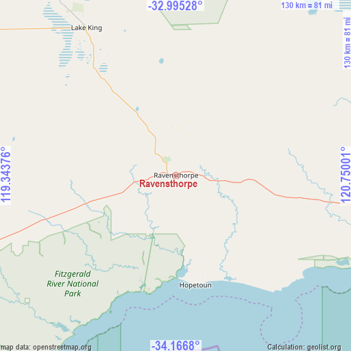
| Upper-left | -32.99528°, | 119.34376° |
| Center: | -33.58303°, | 120.04688° |
| Lower-right: | -34.1668°, | 120.75001° |
| Map W x H: | 130.3×130.3 km | = 81×81mi |
| max Lat: | -10.58257° ⇑47.2% North |
| Ravensthorpe: | -33.58303° |
| min Lat: | ⇓52.8% South -43.31423° |
| min Long | Ravensthorpe | max Long |
| 113.53327° | 120.04688° | 153.61246° |
| W 10.5%⇐ | ⇒89.5% E |
Elevation
Elevation of Ravensthorpe is 225 m = 738 ft, and this is 103 m = 338 ft above average elevation for this country.
| Max E: |
1715 m = 5627 ft | 16.4% |
| Ravensthorpe | 225 m 738 ft | |
| Avg. | 122 m = 400 ft | |
Min E: |
-2 m = -7 ft | 83.6% |
See also: Australia elevation on elevation.city.
Geographical zone
Ravensthorpe is located in South temperate zone (between Tropic of Capricorn and the Antarctic Circle). Distance of this Southern Tropic circle is 1128.2 km =701 mi to North.| Distance of | km | miles | from Ravensthorpe |
|---|---|---|---|
| Equator | 3734.1 | 2320.3 | to North |
| Tropic Capricorn | 1128.2 | 701 | to North |
| Antarctic Circle | 3667.1 | 2278.6 | to South |
| South Pole | 6273 | 3897.9 | to South |


Nearby cities:
15 places around Ravensthorpe: (largest is in red/bold)
• Castletown
175.1 km =108.8 mi,  99°
99°
• Corrigin
245.9 km =152.8 mi,  304°
304°
• Esperance
173.3 km =107.7 mi, 100°
• Gnowangerup
192.4 km =119.6 mi,  258°
258°
• Hopetoun
41.5 km =25.8 mi,  169°
169°
• Kalgan
236.4 km =146.9 mi,  232°
232°
• Katanning
230.7 km =143.4 mi,  267°
267°
• Kendenup
244.5 km =151.9 mi,  245°
245°
• Lake Grace
156.4 km =97.2 mi,  289°
289°
• Lower King
246.8 km =153.4 mi, 231°
• Norseman
223.3 km =138.8 mi,  46°
46°
• Nulsen
171.8 km =106.8 mi, 100°
• Pink Lake
170.3 km =105.8 mi, 100°
• Sinclair
171.6 km =106.6 mi, 100°
• West Beach
173.5 km =107.8 mi, 100°
Sources, notices
• [Note1] Compared only with cities in Australia existing in our database
• [Src1] Map data: © OpenStreetMap contributors (CC-BY-SA)
• [Src2] Other city data from geonames.org with taken over terms of usage.
• [Src3] Geographical zone / Annual Mean Temperature by Robert A. Rohde @ Wikipedia
