Jebrail geodata
Jebrail (Jabrayil) is a seat of a first-order administrative division; located in Azerbaijan in Asia/Baku (GMT+4) time zone. With population of 8,396 people, there are 85 cities with bigger population in this country. Compared to other cities in Azerbaijan, 86.5% of cities are located further ↑North; 58.9% of cities are located further →East and 71.9% of cities have lower elevation than Jebrail. Note1


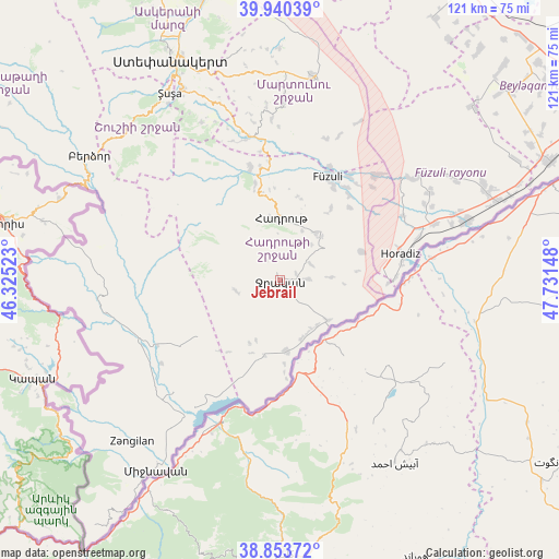
Jebrail GPS coordinates[2]
39° 23' 57.012" North, 47° 1' 42.06" East
| Map corner | latitude | longitude |
|---|---|---|
| Upper-left | 39.94039°, | 46.32523° |
| Center: | 39.39917°, | 47.02835° |
| Lower-right: | 38.85372°, | 47.73148° |
| Map W x H: | 120.8×120.8 km | = 75.1×75.1mi |
| max Lat: | 41.75259° ⇑86.5% North |
| Jebrail: | 39.39917° |
| min Lat: | ⇓13.5% South 38.45598° |
| min Long | Jebrail | max Long |
| 44.84846° | 47.02835° | 50.84003° |
| W 41.1%⇐ | ⇒58.9% E |
Elevation
Elevation of Jebrail is 607 m = 1991 ft, and this is 224 m = 735 ft above average elevation for this country.
| Max E: |
2211 m = 7254 ft | 28.1% |
| Jebrail | 607 m 1991 ft | |
| Avg. | 383 m = 1257 ft | |
Min E: |
-26 m = -85 ft | 71.9% |
See also: Azerbaijan elevation on elevation.city.
Geographical zone
Jebrail is located in North temperate zone (between Tropic of Cancer and the Arctic Circle). Distance of this Northern Tropic circle is 1774.9 km =1102.9 mi to South.| Distance of | km | miles | from Jebrail |
|---|---|---|---|
| North Pole | 5626.3 | 3496 | to North |
| Arctic Circle | 3020.4 | 1876.8 | to North |
| Tropic Cancer | 1774.9 | 1102.9 | to South |
| Equator | 4380.8 | 2722.1 | to South |


Nearby cities:
15 places around Jebrail: (largest is in red/bold)
• Askyaran
62.4 km =38.8 mi,  344°
344°
• Fizuli
24.6 km =15.3 mi,  24°
24°
• Hadrut
13.4 km =8.3 mi,  1°
1°
• Horadiz
26.9 km =16.7 mi,  77°
77°
• Laçın
46.6 km =29 mi,  298°
298°
• Mincivan
48.7 km =30.3 mi,  212°
212°
• Novyy Karanlug
44.6 km =27.7 mi,  9°
9°
• Orjonikidze
64.3 km =40 mi,  65°
65°
• Qubadlı
38.9 km =24.2 mi,  260°
260°
• Qırmızı Bazar
31.6 km =19.6 mi,  347°
347°
• Shushi
46.7 km =29 mi,  329°
329°
• Xankandi
52.2 km =32.4 mi, 333°
• Xocalı
60.7 km =37.7 mi, 340°
• Yuxarı Aran
65.3 km =40.6 mi,  55°
55°
• Zangilan
47.3 km =29.4 mi,  222°
222°
Sources, notices
• [Note1] Compared only with cities in Azerbaijan existing in our database
• [Src1] Map data: © OpenStreetMap contributors (CC-BY-SA)
• [Src2] Other city data from geonames.org with taken over terms of usage.
• [Src3] Geographical zone / Annual Mean Temperature by Robert A. Rohde @ Wikipedia
