Shushi geodata
Shushi (Shusha) is a seat of a first-order administrative division; located in Azerbaijan in Asia/Baku (GMT+4) time zone. With population of 18,662 people, there are 42 cities with bigger population in this country. Compared to other cities in Azerbaijan, 76.2% of cities are located further ↑North; 68.6% of cities are located further →East and 93.5% of cities have lower elevation than Shushi. Note1


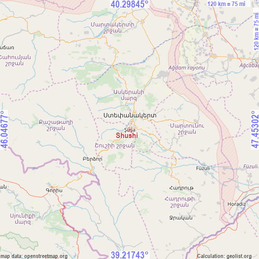
Shushi GPS coordinates[2]
39° 45' 36.216" North, 46° 44' 59.604" East
| Map corner | latitude | longitude |
|---|---|---|
| Upper-left | 40.29845°, | 46.04677° |
| Center: | 39.76006°, | 46.74989° |
| Lower-right: | 39.21743°, | 47.45302° |
| Map W x H: | 120.2×120.2 km | = 74.7×74.7mi |
| max Lat: | 41.75259° ⇑76.2% North |
| Shushi: | 39.76006° |
| min Lat: | ⇓23.8% South 38.45598° |
| min Long | Shushi | max Long |
| 44.84846° | 46.74989° | 50.84003° |
| W 31.4%⇐ | ⇒68.6% E |
Elevation
Elevation of Shushi is 1339 m = 4393 ft, and this is 956 m = 3136 ft above average elevation for this country.
| Max E: |
2211 m = 7254 ft | 6.5% |
| Shushi | 1339 m 4393 ft | |
| Avg. | 383 m = 1257 ft | |
Min E: |
-26 m = -85 ft | 93.5% |
See also: Azerbaijan elevation on elevation.city.
Geographical zone
Shushi is located in North temperate zone (between Tropic of Cancer and the Arctic Circle). Distance of this Northern Tropic circle is 1815 km =1127.8 mi to South.| Distance of | km | miles | from Shushi |
|---|---|---|---|
| North Pole | 5586.2 | 3471.1 | to North |
| Arctic Circle | 2980.3 | 1851.9 | to North |
| Tropic Cancer | 1815 | 1127.8 | to South |
| Equator | 4420.9 | 2747 | to South |


Nearby cities:
15 places around Shushi: (largest is in red/bold)
• Askyaran
21.1 km =13.1 mi,  19°
19°
• Avşar
62.2 km =38.6 mi,  67°
67°
• Ağdam
29.8 km =18.5 mi,  30°
30°
• Fizuli
38.2 km =23.7 mi,  117°
117°
• Hadrut
36 km =22.4 mi,  137°
137°
• Horadiz
60.8 km =37.8 mi, 124°
• Jebrail
46.7 km =29 mi,  149°
149°
• Laçın
24.8 km =15.4 mi,  223°
223°
• Martakert
50.5 km =31.4 mi,  6°
6°
• Novyy Karanlug
31.2 km =19.4 mi,  82°
82°
• Qubadlı
48.4 km =30.1 mi,  197°
197°
• Qırmızı Bazar
19.6 km =12.2 mi, 118°
• Vank
37 km =23 mi,  331°
331°
• Xankandi
6.4 km =4 mi,  2°
2°
• Xocalı
17.3 km =10.7 mi, 11°
Sources, notices
• [Note1] Compared only with cities in Azerbaijan existing in our database
• [Src1] Map data: © OpenStreetMap contributors (CC-BY-SA)
• [Src2] Other city data from geonames.org with taken over terms of usage.
• [Src3] Geographical zone / Annual Mean Temperature by Robert A. Rohde @ Wikipedia
