Herentals geodata
Herentals (Flanders) is a populated place; located in Belgium in Europe/Brussels (GMT+2) time zone. With population of 25,912 people, there are 77 cities with bigger population in this country. Compared to other cities in Belgium, 88.6% of cities are located further ↓South; 59.4% of cities are located further ←West and 77.4% of cities have higher elevation than Herentals. Note1
Administrative division(s):
- Level 1: Flanders
- Level 2: Provincie Antwerpen
- Level 3: Arrondissement Turnhout
- Level 4: Herentals


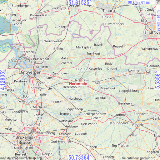
Herentals GPS coordinates[2]
51° 10' 35.58" North, 4° 49' 56.928" East
| Map corner | latitude | longitude |
|---|---|---|
| Upper-left | 51.61525°, | 4.12935° |
| Center: | 51.17655°, | 4.83248° |
| Lower-right: | 50.73364°, | 5.5356° |
| Map W x H: | 98×98 km | = 60.9×60.9mi |
| max Lat: | 51.46791° ⇑11.4% North |
| Herentals: | 51.17655° |
| min Lat: | ⇓88.6% South 49.53771° |
| min Long | Herentals | max Long |
| 2.59368° | 4.83248° | 6.25749° |
| W 59.4%⇐ | ⇒40.6% E |
Elevation
Elevation of Herentals is 16 m = 52 ft, and this is 83.5 m = 274 ft below average elevation for this country.
| Max E: |
582 m = 1909 ft | 77.4% |
| Avg. | 99.5 m = 326 ft | |
| Herentals | 16 m = 52 ft | |
Min E: |
1 m = 3 ft | 22.6% |
See also: Belgium elevation on elevation.city.
Geographical zone
Herentals is located in North temperate zone (between Tropic of Cancer and the Arctic Circle). Distance of this North polar circle is 1710.9 km =1063.1 mi to North.| Distance of | km | miles | from Herentals |
|---|---|---|---|
| North Pole | 4316.8 | 2682.3 | to North |
| Arctic Circle | 1710.9 | 1063.1 | to North |
| Tropic Cancer | 3084.4 | 1916.6 | to South |
| Equator | 5690.3 | 3535.8 | to South |


Nearby cities:
15 places around Herentals: (largest is in red/bold)
• Berlaar
13.8 km =8.6 mi,  241°
241°
• Geel
11 km =6.8 mi,  96°
96°
• Grobbendonk
6.9 km =4.3 mi,  282°
282°
• Heist-op-den-Berg
13.4 km =8.3 mi,  212°
212°
• Herenthout
6.7 km =4.2 mi,  232°
232°
• Herselt
14.3 km =8.9 mi,  165°
165°
• Hulshout
11.7 km =7.3 mi,  194°
194°
• Kasterlee
11.8 km =7.3 mi,  52°
52°
• Lille
7.3 km =4.5 mi,  354°
354°
• Nijlen
11.5 km =7.1 mi,  261°
261°
• Olen
4.1 km =2.5 mi,  152°
152°
• Vorselaar
5.1 km =3.2 mi,  304°
304°
• Westerlo
11.2 km =7 mi, 148°
• Zandhoven
12.6 km =7.8 mi,  289°
289°
• Zoersel
13.2 km =8.2 mi,  320°
320°
Sources, notices
• [Note1] Compared only with cities in Belgium existing in our database
• [Src1] Map data: © OpenStreetMap contributors (CC-BY-SA)
• [Src2] Other city data from geonames.org with taken over terms of usage.
• [Src3] Geographical zone / Annual Mean Temperature by Robert A. Rohde @ Wikipedia
