Alken geodata
Alken (Flanders) is a populated place; located in Belgium in Europe/Brussels (GMT+2) time zone. With population of 10,933 people, there are 277 cities with bigger population in this country. Compared to other cities in Belgium, 57.6% of cities are located further ↓South; 76.9% of cities are located further ←West and 57.2% of cities have higher elevation than Alken. Note1
Administrative division(s):
- Level 1: Flanders
- Level 2: Provincie Limburg
- Level 3: Arrondissement Tongeren
- Level 4: Alken


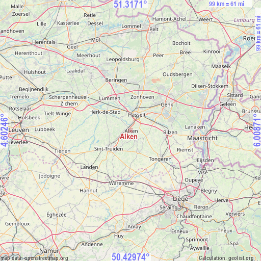
Alken GPS coordinates[2]
50° 52' 31.908" North, 5° 18' 20.088" East
| Map corner | latitude | longitude |
|---|---|---|
| Upper-left | 51.3171°, | 4.60246° |
| Center: | 50.87553°, | 5.30558° |
| Lower-right: | 50.42974°, | 6.00871° |
| Map W x H: | 98.7×98.7 km | = 61.3×61.3mi |
| max Lat: | 51.46791° ⇑42.4% North |
| Alken: | 50.87553° |
| min Lat: | ⇓57.6% South 49.53771° |
| min Long | Alken | max Long |
| 2.59368° | 5.30558° | 6.25749° |
| W 76.9%⇐ | ⇒23.1% E |
Elevation
Elevation of Alken is 39 m = 128 ft, and this is 60.5 m = 198 ft below average elevation for this country.
| Max E: |
582 m = 1909 ft | 57.2% |
| Avg. | 99.5 m = 326 ft | |
| Alken | 39 m = 128 ft | |
Min E: |
1 m = 3 ft | 42.8% |
See also: Belgium elevation on elevation.city.
Geographical zone
Alken is located in North temperate zone (between Tropic of Cancer and the Arctic Circle). Distance of this North polar circle is 1744.3 km =1083.9 mi to North.| Distance of | km | miles | from Alken |
|---|---|---|---|
| North Pole | 4350.2 | 2703.1 | to North |
| Arctic Circle | 1744.3 | 1083.9 | to North |
| Tropic Cancer | 3050.9 | 1895.7 | to South |
| Equator | 5656.8 | 3515 | to South |


Nearby cities:
15 places around Alken: (largest is in red/bold)
• Borgloon
8.3 km =5.2 mi,  161°
161°
• Diepenbeek
8.7 km =5.4 mi,  65°
65°
• Geetbets
13.7 km =8.5 mi,  278°
278°
• Hasselt
6.6 km =4.1 mi,  20°
20°
• Heers
13.5 km =8.4 mi,  181°
181°
• Herk-de-Stad
12.1 km =7.5 mi,  306°
306°
• Hoeselt
13.2 km =8.2 mi,  103°
103°
• Kortessem
6.2 km =3.9 mi,  107°
107°
• Lummen
14.8 km =9.2 mi,  327°
327°
• Nieuwerkerken
7.9 km =4.9 mi,  260°
260°
• Sint-Joris
2.4 km =1.5 mi, 258°
• Sint-Truiden
10.6 km =6.6 mi,  232°
232°
• Terkoest
3.3 km =2.1 mi,  320°
320°
• Wellen
4.5 km =2.8 mi,  148°
148°
• Zonhoven
13.5 km =8.4 mi, 18°
Sources, notices
• [Note1] Compared only with cities in Belgium existing in our database
• [Src1] Map data: © OpenStreetMap contributors (CC-BY-SA)
• [Src2] Other city data from geonames.org with taken over terms of usage.
• [Src3] Geographical zone / Annual Mean Temperature by Robert A. Rohde @ Wikipedia
