Chimoré geodata
Chimoré (Cochabamba) is a populated place; located in Bolivia in America/La_Paz (GMT-4) time zone. With population of 5,147 people, there are 58 cities with bigger population in this country. Compared to other cities in Bolivia, 77.6% of cities are located further ↓South; 52.8% of cities are located further ←West and 90.7% of cities have higher elevation than Chimoré. Note1


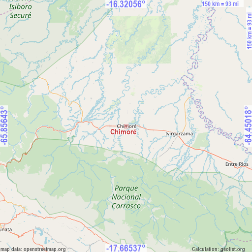
Chimoré GPS coordinates[2]
16° 59' 39.012" South, 65° 9' 11.88" West
| Map corner | latitude | longitude |
|---|---|---|
| Upper-left | -16.32056°, | -65.85643° |
| Center: | -16.99417°, | -65.1533° |
| Lower-right: | -17.66537°, | -64.45018° |
| Map W x H: | 149.5×149.5 km | = 92.9×92.9mi |
| max Lat: | -9.71828° ⇑22.4% North |
| Chimoré: | -16.99417° |
| min Lat: | ⇓77.6% South -22.73206° |
| min Long | Chimoré | max Long |
| -69.14843° | -65.1533° | -57.76667° |
| W 52.8%⇐ | ⇒47.2% E |
Elevation
Elevation of Chimoré is 243 m = 797 ft, and this is 1768.3 m = 5802 ft below average elevation for this country.
| Max E: |
4732 m = 15525 ft | 90.7% |
| Avg. | 2011.3 m = 6599 ft | |
| Chimoré | 243 m = 797 ft | |
Min E: |
92 m = 302 ft | 9.3% |
See also: Bolivia elevation on elevation.city.
Geographical zone
Chimoré is located in South Torrid zone (between Equator and Tropic of Capricorn). Distance of this Southern Tropic circle is 716.3 km =445.1 mi to South.| Distance of | km | miles | from Chimoré |
|---|---|---|---|
| Equator | 1889.6 | 1174.1 | to North |
| Tropic Capricorn | 716.3 | 445.1 | to South |
| Antarctic Circle | 5511.6 | 3424.7 | to South |
| South Pole | 8117.5 | 5044 | to South |


Nearby cities:
15 places around Chimoré: (largest is in red/bold)
• Aiquile
134.6 km =83.6 mi,  181°
181°
• Arani
91.4 km =56.8 mi,  225°
225°
• Cañada Hornillos
76.9 km =47.8 mi, 178°
• Cliza
105.8 km =65.7 mi, 231°
• Cochabamba
115.3 km =71.6 mi,  247°
247°
• Colomi
85.5 km =53.1 mi,  242°
242°
• Comarapa
121.8 km =75.7 mi,  147°
147°
• Mizque
107.1 km =66.5 mi,  190°
190°
• Punata
94.6 km =58.8 mi, 229°
• Quillacollo
127.4 km =79.2 mi, 249°
• Sacaba
104.2 km =64.7 mi, 244°
• Sipe Sipe
140.1 km =87.1 mi, 248°
• Tarata
114.7 km =71.3 mi, 233°
• Tiquipaya
119.2 km =74.1 mi, 251°
• Totora
81.6 km =50.7 mi, 182°
Sources, notices
• [Note1] Compared only with cities in Bolivia existing in our database
• [Src1] Map data: © OpenStreetMap contributors (CC-BY-SA)
• [Src2] Other city data from geonames.org with taken over terms of usage.
• [Src3] Geographical zone / Annual Mean Temperature by Robert A. Rohde @ Wikipedia
