Miguel Alves geodata
Miguel Alves (Piauí) is a populated place; located in Brazil in America/Fortaleza (GMT-3) time zone. With population of 10,438 people, there are 1609 cities with bigger population in this country. Compared to other cities in Brazil, 90.9% of cities are located further ↓South; 61% of cities are located further ←West and 80.1% of cities have higher elevation than Miguel Alves. Note1


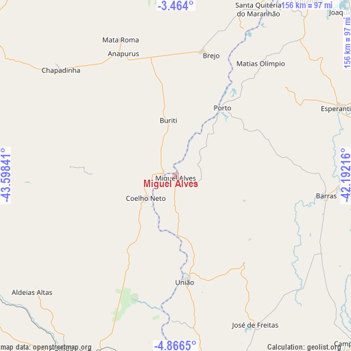
Miguel Alves GPS coordinates[2]
4° 9' 56.016" South, 42° 53' 43.008" West
| Map corner | latitude | longitude |
|---|---|---|
| Upper-left | -3.464°, | -43.59841° |
| Center: | -4.16556°, | -42.89528° |
| Lower-right: | -4.8665°, | -42.19216° |
| Map W x H: | 155.9×155.9 km | = 96.9×96.9mi |
| max Lat: | 2.81972° ⇑9.1% North |
| Miguel Alves: | -4.16556° |
| min Lat: | ⇓90.9% South -33.69111° |
| min Long | Miguel Alves | max Long |
| -72.89583° | -42.89528° | -32.41083° |
| W 61%⇐ | ⇒39% E |
Elevation
Elevation of Miguel Alves is 46 m = 151 ft, and this is 334.9 m = 1099 ft below average elevation for this country.
| Max E: |
1603 m = 5259 ft | 80.1% |
| Avg. | 380.9 m = 1250 ft | |
| Miguel Alves | 46 m = 151 ft | |
Min E: |
0 m = 0 ft | 19.9% |
See also: Brazil elevation on elevation.city.
Geographical zone
Miguel Alves is located in South Torrid zone (between Equator and Tropic of Capricorn). Distance of Equator is 463.2 km =287.8 mi to North.| Distance of | km | miles | from Miguel Alves |
|---|---|---|---|
| Equator | 463.2 | 287.8 | to North |
| Tropic Capricorn | 2142.8 | 1331.5 | to South |
| Antarctic Circle | 6938 | 4311.1 | to South |
| South Pole | 9543.9 | 5930.3 | to South |


Nearby cities:
15 places around Miguel Alves: (largest is in red/bold)
• Barras
67.2 km =41.8 mi,  97°
97°
• Batalha
92.3 km =57.4 mi,  80°
80°
• Brejo
55.9 km =34.7 mi,  16°
16°
• Caxias
92.5 km =57.5 mi,  213°
213°
• Chapadinha
69.9 km =43.4 mi,  312°
312°
• Coelho Neto
16.5 km =10.3 mi,  232°
232°
• Esperantina
79 km =49.1 mi,  68°
68°
• José de Freitas
74.6 km =46.4 mi,  151°
151°
• Luzilândia
97.9 km =60.8 mi,  36°
36°
• Matias Olímpio
62.6 km =38.9 mi, 37°
• Porto
36.6 km =22.7 mi,  34°
34°
• Santa Quitéria do Maranhão
82 km =51 mi, 28°
• Teresina
103.2 km =64.1 mi,  174°
174°
• Timon
103.5 km =64.3 mi,  176°
176°
• União
46.9 km =29.1 mi, 175°
Sources, notices
• [Note1] Compared only with cities in Brazil existing in our database
• [Src1] Map data: © OpenStreetMap contributors (CC-BY-SA)
• [Src2] Other city data from geonames.org with taken over terms of usage.
• [Src3] Geographical zone / Annual Mean Temperature by Robert A. Rohde @ Wikipedia
