Santos Dumont geodata
Santos Dumont (Minas Gerais) is a populated place; located in Brazil in America/Sao_Paulo (GMT-3) time zone. With population of 41,582 people, there are 507 cities with bigger population in this country. Compared to other cities in Brazil, 66.2% of cities are located further ↑North; 57.9% of cities are located further ←West and 92.2% of cities have lower elevation than Santos Dumont. Note1


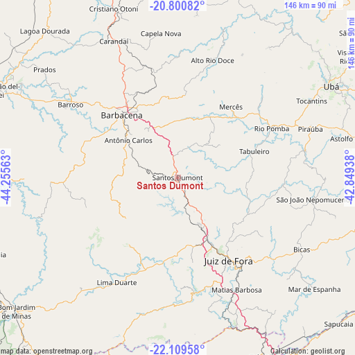
Santos Dumont GPS coordinates[2]
21° 27' 24.012" South, 43° 33' 9" West
| Map corner | latitude | longitude |
|---|---|---|
| Upper-left | -20.80082°, | -44.25563° |
| Center: | -21.45667°, | -43.5525° |
| Lower-right: | -22.10958°, | -42.84938° |
| Map W x H: | 145.5×145.5 km | = 90.4×90.4mi |
| max Lat: | 2.81972° ⇑66.2% North |
| Santos Dumont: | -21.45667° |
| min Lat: | ⇓33.8% South -33.69111° |
| min Long | Santos Dumont | max Long |
| -72.89583° | -43.5525° | -32.41083° |
| W 57.9%⇐ | ⇒42.1% E |
Elevation
Elevation of Santos Dumont is 844 m = 2769 ft, and this is 463.1 m = 1519 ft above average elevation for this country.
| Max E: |
1603 m = 5259 ft | 7.8% |
| Santos Dumont | 844 m 2769 ft | |
| Avg. | 380.9 m = 1250 ft | |
Min E: |
0 m = 0 ft | 92.2% |
See also: Santos Dumont elevation on elevation.city.
Geographical zone
Santos Dumont is located in South Torrid zone (between Equator and Tropic of Capricorn). Distance of this Southern Tropic circle is 220.2 km =136.8 mi to South.| Distance of | km | miles | from Santos Dumont |
|---|---|---|---|
| Equator | 2385.8 | 1482.5 | to North |
| Tropic Capricorn | 220.2 | 136.8 | to South |
| Antarctic Circle | 5015.4 | 3116.4 | to South |
| South Pole | 7621.3 | 4735.7 | to South |


Nearby cities:
15 places around Santos Dumont: (largest is in red/bold)
• Astolfo Dutra
73.2 km =45.5 mi,  77°
77°
• Barbacena
34.4 km =21.4 mi,  318°
318°
• Barroso
53.1 km =33 mi,  304°
304°
• Bicas
59.1 km =36.7 mi,  120°
120°
• Carandaí
61.8 km =38.4 mi,  334°
334°
• Juiz de Fora
40.1 km =24.9 mi,  148°
148°
• Lima Duarte
49.6 km =30.8 mi,  210°
210°
• Mar de Espanha
72.3 km =44.9 mi,  129°
129°
• Matias Barbosa
51.8 km =32.2 mi, 152°
• Rio Novo
44.2 km =27.5 mi,  92°
92°
• Rio Pomba
43.6 km =27.1 mi,  62°
62°
• São João Nepomuceno
56.8 km =35.3 mi,  99°
99°
• Tiradentes
75.4 km =46.9 mi, 300°
• Tocantins
63.6 km =39.5 mi, 60°
• Ubá
73.4 km =45.6 mi, 59°
Sources, notices
• [Note1] Compared only with cities in Brazil existing in our database
• [Src1] Map data: © OpenStreetMap contributors (CC-BY-SA)
• [Src2] Other city data from geonames.org with taken over terms of usage.
• [Src3] Geographical zone / Annual Mean Temperature by Robert A. Rohde @ Wikipedia
