Maracás geodata
Maracás (Bahia) is a populated place; located in Brazil in America/Bahia (GMT-3) time zone. With population of 22,049 people, there are 866 cities with bigger population in this country. Compared to other cities in Brazil, 59.1% of cities are located further ↓South; 73% of cities are located further ←West and 97.6% of cities have lower elevation than Maracás. Note1


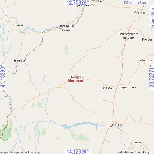
Maracás GPS coordinates[2]
13° 26' 27.996" South, 40° 25' 50.988" West
| Map corner | latitude | longitude |
|---|---|---|
| Upper-left | -12.75628°, | -41.13396° |
| Center: | -13.44111°, | -40.43083° |
| Lower-right: | -14.12399°, | -39.72771° |
| Map W x H: | 152.1×152.1 km | = 94.5×94.5mi |
| max Lat: | 2.81972° ⇑40.9% North |
| Maracás: | -13.44111° |
| min Lat: | ⇓59.1% South -33.69111° |
| min Long | Maracás | max Long |
| -72.89583° | -40.43083° | -32.41083° |
| W 73%⇐ | ⇒27% E |
Elevation
Elevation of Maracás is 963 m = 3159 ft, and this is 582.1 m = 1910 ft above average elevation for this country.
| Max E: |
1603 m = 5259 ft | 2.4% |
| Maracás | 963 m 3159 ft | |
| Avg. | 380.9 m = 1250 ft | |
Min E: |
0 m = 0 ft | 97.6% |
See also: Brazil elevation on elevation.city.
Geographical zone
Maracás is located in South Torrid zone (between Equator and Tropic of Capricorn). Distance of this Southern Tropic circle is 1111.4 km =690.6 mi to South.| Distance of | km | miles | from Maracás |
|---|---|---|---|
| Equator | 1494.5 | 928.6 | to North |
| Tropic Capricorn | 1111.4 | 690.6 | to South |
| Antarctic Circle | 5906.7 | 3670.3 | to South |
| South Pole | 8512.6 | 5289.5 | to South |


Nearby cities:
15 places around Maracás: (largest is in red/bold)
• Amargosa
100.4 km =62.4 mi,  62°
62°
• Barra da Estiva
99 km =61.5 mi,  258°
258°
• Gandu
107.5 km =66.8 mi,  108°
108°
• Iaçu
78.6 km =48.8 mi,  17°
17°
• Ipiaú
107.3 km =66.7 mi,  135°
135°
• Itaberaba
102.5 km =63.7 mi,  7°
7°
• Itagi
92.4 km =57.4 mi,  150°
150°
• Itiruçu
32 km =19.9 mi, 108°
• Ituaçu
102.3 km =63.6 mi,  246°
246°
• Jaguaquara
50.7 km =31.5 mi,  101°
101°
• Jequié
59.6 km =37 mi, 141°
• Jitaúna
85.7 km =53.3 mi, 137°
• Mutuípe
102.9 km =63.9 mi,  76°
76°
• Santa Inês
68.2 km =42.4 mi, 75°
• Ubaíra
85.3 km =53 mi, 76°
Sources, notices
• [Note1] Compared only with cities in Brazil existing in our database
• [Src1] Map data: © OpenStreetMap contributors (CC-BY-SA)
• [Src2] Other city data from geonames.org with taken over terms of usage.
• [Src3] Geographical zone / Annual Mean Temperature by Robert A. Rohde @ Wikipedia
