Carleton Place geodata
Carleton Place (Ontario) is a populated place; located in Canada in America/Toronto (GMT-4) time zone. With population of 9,743 people, there are 318 cities with bigger population in this country. Compared to other cities in Canada, 82.8% of cities are located further ↑North; 54.5% of cities are located further ←West and 54.4% of cities have higher elevation than Carleton Place. Note1


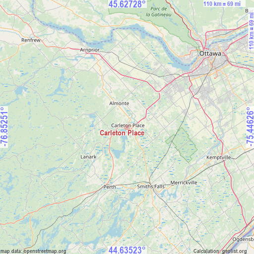
Carleton Place GPS coordinates[2]
45° 8' 0.276" North, 76° 8' 57.768" West
| Map corner | latitude | longitude |
|---|---|---|
| Upper-left | 45.62728°, | -76.85251° |
| Center: | 45.13341°, | -76.14938° |
| Lower-right: | 44.63523°, | -75.44626° |
| Map W x H: | 110.3×110.3 km | = 68.5×68.5mi |
| max Lat: | 73.03752° ⇑82.8% North |
| Carleton Place: | 45.13341° |
| min Lat: | ⇓17.2% South 42.05009° |
| min Long | Carleton Place | max Long |
| -139.43328° | -76.14938° | -52.70931° |
| W 54.5%⇐ | ⇒45.5% E |
Elevation
Elevation of Carleton Place is 144 m = 472 ft, and this is 110.4 m = 362 ft below average elevation for this country.
| Max E: |
1518 m = 4980 ft | 54.4% |
| Avg. | 254.4 m = 835 ft | |
| Carleton Place | 144 m = 472 ft | |
Min E: |
-2 m = -7 ft | 45.6% |
See also: Canada elevation on elevation.city.
Geographical zone
Carleton Place is located in North temperate zone (between Tropic of Cancer and the Arctic Circle). Distance of this North polar circle is 2382.8 km =1480.6 mi to North.| Distance of | km | miles | from Carleton Place |
|---|---|---|---|
| North Pole | 4988.7 | 3099.8 | to North |
| Arctic Circle | 2382.8 | 1480.6 | to North |
| Tropic Cancer | 2412.4 | 1499 | to South |
| Equator | 5018.4 | 3118.3 | to South |


Nearby cities:
15 places around Carleton Place: (largest is in red/bold)
• Arnprior
36.8 km =22.9 mi,  334°
334°
• Bells Corners
32.2 km =20 mi,  50°
50°
• Constance Bay
41.1 km =25.5 mi,  7°
7°
• Gatineau
51.8 km =32.2 mi,  42°
42°
• Kanata
26 km =16.2 mi, 44°
• Metcalfe
54.7 km =34 mi,  78°
78°
• Nepean
40.2 km =25 mi, 52°
• Osgoode
43.3 km =26.9 mi,  87°
87°
• Ottawa
46.9 km =29.1 mi, 48°
• Perth
27.1 km =16.8 mi,  196°
196°
• Richmond
25.4 km =15.8 mi, 77°
• Saint-Alexandre
51.4 km =31.9 mi, 37°
• Smiths Falls
27.3 km =17 mi,  158°
158°
• Vanier
51 km =31.7 mi, 48°
• le Plateau
44.3 km =27.5 mi, 40°
Sources, notices
• [Note1] Compared only with cities in Canada existing in our database
• [Src1] Map data: © OpenStreetMap contributors (CC-BY-SA)
• [Src2] Other city data from geonames.org with taken over terms of usage.
• [Src3] Geographical zone / Annual Mean Temperature by Robert A. Rohde @ Wikipedia
