Wamba geodata
Wamba (Haut-Uele) is a populated place; located in Democratic Republic of the Congo in Africa/Lubumbashi (GMT+2) time zone. With population of 17,373 people, there are 66 cities with bigger population in this country. Compared to other cities in Democratic Republic of the Congo, 82.9% of cities are located further ↓South; 85.7% of cities are located further ←West and 74.3% of cities have lower elevation than Wamba. Note1


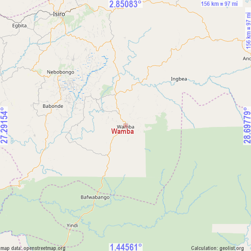
Wamba GPS coordinates[2]
2° 8' 54.168" North, 27° 59' 40.776" East
| Map corner | latitude | longitude |
|---|---|---|
| Upper-left | 2.85083°, | 27.29154° |
| Center: | 2.14838°, | 27.99466° |
| Lower-right: | 1.44561°, | 28.69779° |
| Map W x H: | 156.2×156.3 km | = 97.1×97.1mi |
| max Lat: | 4.279° ⇑17.1% North |
| Wamba: | 2.14838° |
| min Lat: | ⇓82.9% South -11.76097° |
| min Long | Wamba | max Long |
| 12.37148° | 27.99466° | 30.25224° |
| W 85.7%⇐ | ⇒14.3% E |
Elevation
Elevation of Wamba is 796 m = 2612 ft, and this is 140 m = 459 ft above average elevation for this country.
| Max E: |
1996 m = 6549 ft | 25.7% |
| Wamba | 796 m 2612 ft | |
| Avg. | 656 m = 2152 ft | |
Min E: |
11 m = 36 ft | 74.3% |
See also: Democratic Republic of the Congo elevation on elevation.city.
Geographical zone
Wamba is located in North Torrid zone (between Equator and Tropic of Cancer). Distance of Equator is 238.9 km =148.4 mi to South.| Distance of | km | miles | from Wamba |
|---|---|---|---|
| North Pole | 9768.2 | 6069.7 | to North |
| Arctic Circle | 7162.3 | 4450.4 | to North |
| Tropic Cancer | 2367 | 1470.8 | to North |
| Equator | 238.9 | 148.4 | to South |


Nearby cities:
9 places around Wamba: (largest is in red/bold)
• Beni
246.9 km =153.4 mi,  138°
138°
• Bunia
259.3 km =161.1 mi,  104°
104°
• Buta
369.5 km =229.6 mi,  281°
281°
• Butembo
265.6 km =165 mi,  147°
147°
• Isiro
81.3 km =50.5 mi,  328°
328°
• Kisangani
360.7 km =224.1 mi,  239°
239°
• Sake
430 km =267.2 mi,  164°
164°
• Watsa
197.6 km =122.8 mi,  59°
59°
• Yangambi
423.9 km =263.4 mi,  248°
248°
Sources, notices
• [Note1] Compared only with cities in Democratic Republic of the Congo existing in our database
• [Src1] Map data: © OpenStreetMap contributors (CC-BY-SA)
• [Src2] Other city data from geonames.org with taken over terms of usage.
• [Src3] Geographical zone / Annual Mean Temperature by Robert A. Rohde @ Wikipedia
