Wäldi geodata
Wäldi (Thurgau) is a populated place; located in Switzerland in Europe/Zurich (GMT+2) time zone. With population of 957 people, there are 1366 cities with bigger population in this country. Compared to other cities in Switzerland, 97.9% of cities are located further ↓South; 90.8% of cities are located further ←West and 72.1% of cities have lower elevation than Wäldi. Note1


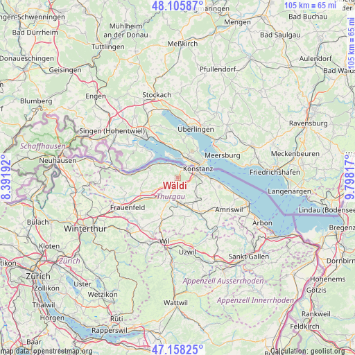
Wäldi GPS coordinates[2]
47° 38' 3.156" North, 9° 5' 42.144" East
| Map corner | latitude | longitude |
|---|---|---|
| Upper-left | 48.10587°, | 8.39192° |
| Center: | 47.63421°, | 9.09504° |
| Lower-right: | 47.15825°, | 9.79817° |
| Map W x H: | 105.4×105.4 km | = 65.5×65.5mi |
| max Lat: | 47.76737° ⇑2.1% North |
| Wäldi: | 47.63421° |
| min Lat: | ⇓97.9% South 45.83203° |
| min Long | Wäldi | max Long |
| 5.97153° | 9.09504° | 10.44624° |
| W 90.8%⇐ | ⇒9.2% E |
Elevation
Elevation of Wäldi is 588 m = 1929 ft, and this is 29.8 m = 98 ft above average elevation for this country.
| Max E: |
1845 m = 6053 ft | 27.9% |
| Wäldi | 588 m 1929 ft | |
| Avg. | 558.2 m = 1831 ft | |
Min E: |
197 m = 646 ft | 72.1% |
See also: Switzerland elevation on elevation.city.
Geographical zone
Wäldi is located in North temperate zone (between Tropic of Cancer and the Arctic Circle). Distance of this North polar circle is 2104.7 km =1307.8 mi to North.| Distance of | km | miles | from Wäldi |
|---|---|---|---|
| North Pole | 4710.6 | 2927 | to North |
| Arctic Circle | 2104.7 | 1307.8 | to North |
| Tropic Cancer | 2690.5 | 1671.8 | to South |
| Equator | 5296.4 | 3291 | to South |


Nearby cities:
15 places around Wäldi: (largest is in red/bold)
• Berg
8.2 km =5.1 mi,  139°
139°
• Bottighofen
8.5 km =5.3 mi,  88°
88°
• Bürglen
10.3 km =6.4 mi,  156°
156°
• Ermatingen
4.1 km =2.5 mi,  350°
350°
• Gottlieben
4.4 km =2.7 mi,  41°
41°
• Homburg
6.6 km =4.1 mi,  270°
270°
• Hüttlingen
10.6 km =6.6 mi,  233°
233°
• Kreuzlingen
6.3 km =3.9 mi,  73°
73°
• Märstetten-Dorf
5 km =3.1 mi,  203°
203°
• Müllheim
7.7 km =4.8 mi,  242°
242°
• Münsterlingen
10.3 km =6.4 mi, 91°
• Steckborn
9.1 km =5.7 mi,  293°
293°
• Tägerwilen
4.2 km =2.6 mi,  53°
53°
• Weinfelden
7.5 km =4.7 mi,  177°
177°
• Wigoltingen
6.3 km =3.9 mi, 229°
Sources, notices
• [Note1] Compared only with cities in Switzerland existing in our database
• [Src1] Map data: © OpenStreetMap contributors (CC-BY-SA)
• [Src2] Other city data from geonames.org with taken over terms of usage.
• [Src3] Geographical zone / Annual Mean Temperature by Robert A. Rohde @ Wikipedia
