Märstetten-Dorf geodata
Märstetten-Dorf (Thurgau) is a populated place; located in Switzerland in Europe/Zurich (GMT+2) time zone. With population of 2,600 people, there are 677 cities with bigger population in this country. Compared to other cities in Switzerland, 96.8% of cities are located further ↓South; 90.2% of cities are located further ←West and 77.8% of cities have higher elevation than Märstetten-Dorf. Note1


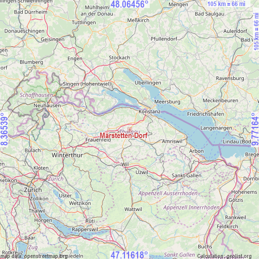
Märstetten-Dorf GPS coordinates[2]
47° 35' 33.072" North, 9° 4' 6.636" East
| Map corner | latitude | longitude |
|---|---|---|
| Upper-left | 48.06456°, | 8.36539° |
| Center: | 47.59252°, | 9.06851° |
| Lower-right: | 47.11618°, | 9.77164° |
| Map W x H: | 105.4×105.4 km | = 65.5×65.5mi |
| max Lat: | 47.76737° ⇑3.2% North |
| Märstetten-Dorf: | 47.59252° |
| min Lat: | ⇓96.8% South 45.83203° |
| min Long | Märstetten-Dor | max Long |
| 5.97153° | 9.06851° | 10.44624° |
| W 90.2%⇐ | ⇒9.8% E |
Elevation
Elevation of Märstetten-Dorf is 426 m = 1398 ft, and this is 132.2 m = 434 ft below average elevation for this country.
| Max E: |
1845 m = 6053 ft | 77.8% |
| Avg. | 558.2 m = 1831 ft | |
| Märstetten-Dorf | 426 m = 1398 ft | |
Min E: |
197 m = 646 ft | 22.2% |
See also: Switzerland elevation on elevation.city.
Geographical zone
Märstetten-Dorf is located in North temperate zone (between Tropic of Cancer and the Arctic Circle). Distance of this North polar circle is 2109.4 km =1310.7 mi to North.| Distance of | km | miles | from Märstetten-Dorf |
|---|---|---|---|
| North Pole | 4715.3 | 2930 | to North |
| Arctic Circle | 2109.4 | 1310.7 | to North |
| Tropic Cancer | 2685.9 | 1668.9 | to South |
| Equator | 5291.8 | 3288.2 | to South |


Nearby cities:
15 places around Märstetten-Dorf: (largest is in red/bold)
• Affeltrangen
7.9 km =4.9 mi,  199°
199°
• Berg
7.5 km =4.7 mi,  101°
101°
• Bürglen
7.8 km =4.8 mi,  128°
128°
• Ermatingen
8.8 km =5.5 mi,  8°
8°
• Gottlieben
9.3 km =5.8 mi,  31°
31°
• Homburg
6.5 km =4 mi,  315°
315°
• Hüttlingen
6.8 km =4.2 mi,  256°
256°
• Müllheim
5 km =3.1 mi,  282°
282°
• Pfyn
8.6 km =5.3 mi,  273°
273°
• Schönholzerswilen
10 km =6.2 mi,  147°
147°
• Thundorf
9.4 km =5.8 mi,  236°
236°
• Tägerwilen
8.9 km =5.5 mi,  36°
36°
• Weinfelden
3.7 km =2.3 mi,  140°
140°
• Wigoltingen
2.8 km =1.7 mi, 281°
• Wäldi
5 km =3.1 mi,  23°
23°
Sources, notices
• [Note1] Compared only with cities in Switzerland existing in our database
• [Src1] Map data: © OpenStreetMap contributors (CC-BY-SA)
• [Src2] Other city data from geonames.org with taken over terms of usage.
• [Src3] Geographical zone / Annual Mean Temperature by Robert A. Rohde @ Wikipedia
