Steckborn geodata
Steckborn (Thurgau) is a seat of a third-order administrative division; located in Switzerland in Europe/Zurich (GMT+2) time zone. With population of 3,229 people, there are 547 cities with bigger population in this country. Compared to other cities in Switzerland, 98.7% of cities are located further ↓South; 87.7% of cities are located further ←West and 88% of cities have higher elevation than Steckborn. Note1


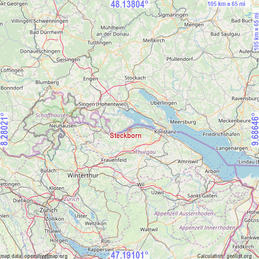
Steckborn GPS coordinates[2]
47° 40' 0.012" North, 8° 58' 59.988" East
| Map corner | latitude | longitude |
|---|---|---|
| Upper-left | 48.13804°, | 8.28021° |
| Center: | 47.66667°, | 8.98333° |
| Lower-right: | 47.19101°, | 9.68646° |
| Map W x H: | 105.3×105.3 km | = 65.4×65.4mi |
| max Lat: | 47.76737° ⇑1.3% North |
| Steckborn: | 47.66667° |
| min Lat: | ⇓98.7% South 45.83203° |
| min Long | Steckborn | max Long |
| 5.97153° | 8.98333° | 10.44624° |
| W 87.7%⇐ | ⇒12.3% E |
Elevation
Elevation of Steckborn is 402 m = 1319 ft, and this is 156.2 m = 512 ft below average elevation for this country.
| Max E: |
1845 m = 6053 ft | 88% |
| Avg. | 558.2 m = 1831 ft | |
| Steckborn | 402 m = 1319 ft | |
Min E: |
197 m = 646 ft | 12% |
See also: Switzerland elevation on elevation.city.
Geographical zone
Steckborn is located in North temperate zone (between Tropic of Cancer and the Arctic Circle). Distance of this North polar circle is 2101.1 km =1305.6 mi to North.| Distance of | km | miles | from Steckborn |
|---|---|---|---|
| North Pole | 4707 | 2924.8 | to North |
| Arctic Circle | 2101.1 | 1305.6 | to North |
| Tropic Cancer | 2694.1 | 1674 | to South |
| Equator | 5300 | 3293.3 | to South |


Nearby cities:
15 places around Steckborn: (largest is in red/bold)
• Ermatingen
7.7 km =4.8 mi,  86°
86°
• Eschenz
8.4 km =5.2 mi,  255°
255°
• Gottlieben
11.3 km =7 mi, 91°
• Herdern
8.9 km =5.5 mi,  217°
217°
• Homburg
4 km =2.5 mi,  152°
152°
• Hüttlingen
9.9 km =6.2 mi,  181°
181°
• Hüttwilen
10.6 km =6.6 mi,  231°
231°
• Mammern
5.6 km =3.5 mi,  246°
246°
• Märstetten-Dorf
10.4 km =6.5 mi,  142°
142°
• Müllheim
7.4 km =4.6 mi,  168°
168°
• Pfyn
8.1 km =5 mi,  195°
195°
• Stein am Rhein
9.3 km =5.8 mi, 264°
• Wagenhausen
10.2 km =6.3 mi,  265°
265°
• Wigoltingen
8.5 km =5.3 mi, 154°
• Wäldi
9.1 km =5.7 mi,  113°
113°
Sources, notices
• [Note1] Compared only with cities in Switzerland existing in our database
• [Src1] Map data: © OpenStreetMap contributors (CC-BY-SA)
• [Src2] Other city data from geonames.org with taken over terms of usage.
• [Src3] Geographical zone / Annual Mean Temperature by Robert A. Rohde @ Wikipedia
