Roggwil geodata
Roggwil (Bern) is a populated place; located in Switzerland in Europe/Zurich (GMT+2) time zone. With population of 3,673 people, there are 486 cities with bigger population in this country. Compared to other cities in Switzerland, 50.9% of cities are located further ↓South; 64.9% of cities are located further →East and 62.7% of cities have higher elevation than Roggwil. Note1


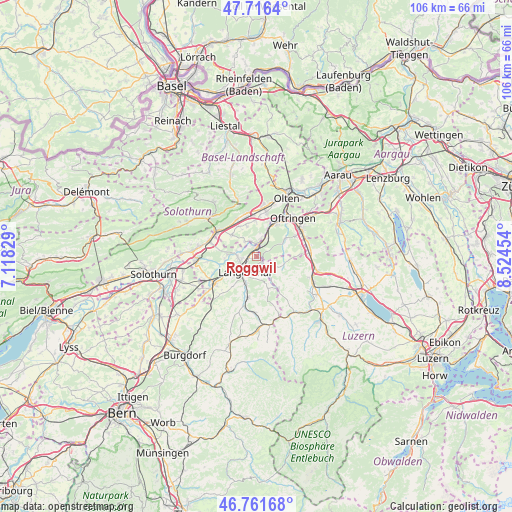
Roggwil GPS coordinates[2]
47° 14' 28.284" North, 7° 49' 17.076" East
| Map corner | latitude | longitude |
|---|---|---|
| Upper-left | 47.7164°, | 7.11829° |
| Center: | 47.24119°, | 7.82141° |
| Lower-right: | 46.76168°, | 8.52454° |
| Map W x H: | 106.2×106.2 km | = 66×66mi |
| max Lat: | 47.76737° ⇑49.1% North |
| Roggwil: | 47.24119° |
| min Lat: | ⇓50.9% South 45.83203° |
| min Long | Roggwil | max Long |
| 5.97153° | 7.82141° | 10.44624° |
| W 35.1%⇐ | ⇒64.9% E |
Elevation
Elevation of Roggwil is 450 m = 1476 ft, and this is 108.2 m = 355 ft below average elevation for this country.
| Max E: |
1845 m = 6053 ft | 62.7% |
| Avg. | 558.2 m = 1831 ft | |
| Roggwil | 450 m = 1476 ft | |
Min E: |
197 m = 646 ft | 37.3% |
See also: Switzerland elevation on elevation.city.
Geographical zone
Roggwil is located in North temperate zone (between Tropic of Cancer and the Arctic Circle). Distance of this North polar circle is 2148.4 km =1335 mi to North.| Distance of | km | miles | from Roggwil |
|---|---|---|---|
| North Pole | 4754.3 | 2954.2 | to North |
| Arctic Circle | 2148.4 | 1335 | to North |
| Tropic Cancer | 2646.8 | 1644.6 | to South |
| Equator | 5252.7 | 3263.9 | to South |


Nearby cities:
15 places around Roggwil: (largest is in red/bold)
• Aarwangen
4 km =2.5 mi,  265°
265°
• Bannwil
6.5 km =4 mi, 268°
• Busswil bei Melchnau
6.2 km =3.9 mi,  172°
172°
• Fulenbach
3.4 km =2.1 mi,  12°
12°
• Gunzgen
8.1 km =5 mi, 5°
• Langenthal
3.5 km =2.2 mi,  213°
213°
• Lotzwil
6 km =3.7 mi,  202°
202°
• Madiswil
8.7 km =5.4 mi,  191°
191°
• Melchnau
6.9 km =4.3 mi,  161°
161°
• Murgenthal
3.6 km =2.2 mi,  21°
21°
• Niederbuchsiten
7.2 km =4.5 mi,  328°
328°
• Pfaffnau
5.9 km =3.7 mi,  104°
104°
• Vordemwald
7.1 km =4.4 mi,  57°
57°
• Wolfwil
3.6 km =2.2 mi, 328°
• Wynau
1.7 km =1.1 mi,  346°
346°
Sources, notices
• [Note1] Compared only with cities in Switzerland existing in our database
• [Src1] Map data: © OpenStreetMap contributors (CC-BY-SA)
• [Src2] Other city data from geonames.org with taken over terms of usage.
• [Src3] Geographical zone / Annual Mean Temperature by Robert A. Rohde @ Wikipedia
