Mühlau geodata
Mühlau (Aargau) is a populated place; located in Switzerland in Europe/Zurich (GMT+2) time zone. With population of 967 people, there are 1355 cities with bigger population in this country. Compared to other cities in Switzerland, 50.3% of cities are located further ↑North; 51% of cities are located further →East and 90.7% of cities have higher elevation than Mühlau. Note1


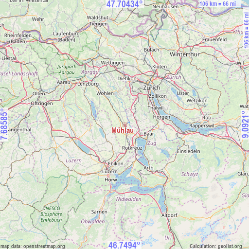
Mühlau GPS coordinates[2]
47° 13' 44.472" North, 8° 23' 20.328" East
| Map corner | latitude | longitude |
|---|---|---|
| Upper-left | 47.70434°, | 7.68585° |
| Center: | 47.22902°, | 8.38898° |
| Lower-right: | 46.7494°, | 9.0921° |
| Map W x H: | 106.2×106.2 km | = 66×66mi |
| max Lat: | 47.76737° ⇑50.3% North |
| Mühlau: | 47.22902° |
| min Lat: | ⇓49.7% South 45.83203° |
| min Long | Mühlau | max Long |
| 5.97153° | 8.38898° | 10.44624° |
| W 49%⇐ | ⇒51% E |
Elevation
Elevation of Mühlau is 390 m = 1280 ft, and this is 168.2 m = 552 ft below average elevation for this country.
| Max E: |
1845 m = 6053 ft | 90.7% |
| Avg. | 558.2 m = 1831 ft | |
| Mühlau | 390 m = 1280 ft | |
Min E: |
197 m = 646 ft | 9.3% |
See also: Switzerland elevation on elevation.city.
Geographical zone
Mühlau is located in North temperate zone (between Tropic of Cancer and the Arctic Circle). Distance of this North polar circle is 2149.8 km =1335.8 mi to North.| Distance of | km | miles | from Mühlau |
|---|---|---|---|
| North Pole | 4755.7 | 2955.1 | to North |
| Arctic Circle | 2149.8 | 1335.8 | to North |
| Tropic Cancer | 2645.5 | 1643.8 | to South |
| Equator | 5251.4 | 3263.1 | to South |


Nearby cities:
15 places around Mühlau: (largest is in red/bold)
• Affoltern / Goldiger Berg
6.9 km =4.3 mi,  37°
37°
• Affoltern / Hasenbüel
6.9 km =4.3 mi, 44°
• Aristau
6.7 km =4.2 mi,  343°
343°
• Auw
2.7 km =1.7 mi,  220°
220°
• Hünenberg
6.6 km =4.1 mi,  155°
155°
• Knonau
5.5 km =3.4 mi,  96°
96°
• Merenschwand
3.5 km =2.2 mi, 344°
• Mettmenstetten
5.9 km =3.7 mi,  72°
72°
• Muri
6.3 km =3.9 mi,  322°
322°
• Obfelden
4.6 km =2.9 mi,  32°
32°
• Obfelden / Bickwil
5.2 km =3.2 mi, 30°
• Obfelden / Oberlunnern
4.2 km =2.6 mi, 28°
• Obfelden / Toussen
5.1 km =3.2 mi, 37°
• Ottenbach
6 km =3.7 mi,  11°
11°
• Sins
4 km =2.5 mi,  174°
174°
Sources, notices
• [Note1] Compared only with cities in Switzerland existing in our database
• [Src1] Map data: © OpenStreetMap contributors (CC-BY-SA)
• [Src2] Other city data from geonames.org with taken over terms of usage.
• [Src3] Geographical zone / Annual Mean Temperature by Robert A. Rohde @ Wikipedia
