Endingen geodata
Endingen (Aargau) is a populated place; located in Switzerland in Europe/Zurich (GMT+2) time zone. With population of 1,935 people, there are 861 cities with bigger population in this country. Compared to other cities in Switzerland, 93.9% of cities are located further ↓South; 53.4% of cities are located further →East and 92% of cities have higher elevation than Endingen. Note1


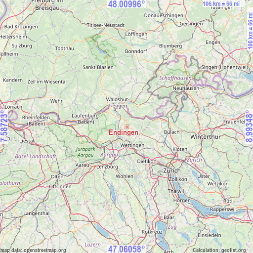
Endingen GPS coordinates[2]
47° 32' 14.712" North, 8° 17' 25.296" East
| Map corner | latitude | longitude |
|---|---|---|
| Upper-left | 48.00996°, | 7.58723° |
| Center: | 47.53742°, | 8.29036° |
| Lower-right: | 47.06058°, | 8.99348° |
| Map W x H: | 105.6×105.6 km | = 65.6×65.6mi |
| max Lat: | 47.76737° ⇑6.1% North |
| Endingen: | 47.53742° |
| min Lat: | ⇓93.9% South 45.83203° |
| min Long | Endingen | max Long |
| 5.97153° | 8.29036° | 10.44624° |
| W 46.6%⇐ | ⇒53.4% E |
Elevation
Elevation of Endingen is 386 m = 1266 ft, and this is 172.2 m = 565 ft below average elevation for this country.
| Max E: |
1845 m = 6053 ft | 92% |
| Avg. | 558.2 m = 1831 ft | |
| Endingen | 386 m = 1266 ft | |
Min E: |
197 m = 646 ft | 8% |
See also: Switzerland elevation on elevation.city.
Geographical zone
Endingen is located in North temperate zone (between Tropic of Cancer and the Arctic Circle). Distance of this North polar circle is 2115.5 km =1314.5 mi to North.| Distance of | km | miles | from Endingen |
|---|---|---|---|
| North Pole | 4721.4 | 2933.7 | to North |
| Arctic Circle | 2115.5 | 1314.5 | to North |
| Tropic Cancer | 2679.7 | 1665.1 | to South |
| Equator | 5285.7 | 3284.4 | to South |


Nearby cities:
15 places around Endingen: (largest is in red/bold)
• Bad Zurzach
5.6 km =3.5 mi,  2°
2°
• Baden
7.2 km =4.5 mi,  170°
170°
• Ehrendingen
5.8 km =3.6 mi,  132°
132°
• Gebenstorf
7.3 km =4.5 mi,  211°
211°
• Klingnau
6 km =3.7 mi,  328°
328°
• Lauffohr (Brugg)
6 km =3.7 mi,  228°
228°
• Niederweningen / Niederweningen (Dorf)
7.4 km =4.6 mi,  118°
118°
• Obersiggenthal
5.6 km =3.5 mi,  175°
175°
• Rekingen
4.3 km =2.7 mi,  28°
28°
• Siglistorf
6.7 km =4.2 mi,  83°
83°
• Tegerfelden
2.3 km =1.4 mi,  357°
357°
• Turgi
5.7 km =3.5 mi, 208°
• Untersiggenthal
4.7 km =2.9 mi, 213°
• Villigen
5.8 km =3.6 mi,  258°
258°
• Würenlingen
2.6 km =1.6 mi, 260°
Sources, notices
• [Note1] Compared only with cities in Switzerland existing in our database
• [Src1] Map data: © OpenStreetMap contributors (CC-BY-SA)
• [Src2] Other city data from geonames.org with taken over terms of usage.
• [Src3] Geographical zone / Annual Mean Temperature by Robert A. Rohde @ Wikipedia
