Crémines geodata
Crémines (Bern) is a populated place; located in Switzerland in Europe/Zurich (GMT+2) time zone. With population of 548 people, there are 1748 cities with bigger population in this country. Compared to other cities in Switzerland, 56.3% of cities are located further ↓South; 77.1% of cities are located further →East and 74.4% of cities have lower elevation than Crémines. Note1


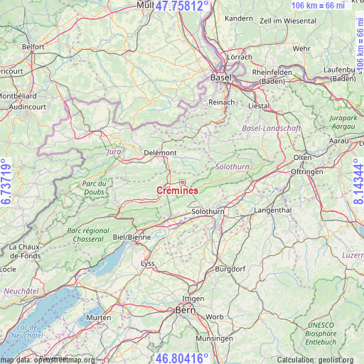
Crémines GPS coordinates[2]
47° 16' 59.844" North, 7° 26' 25.152" East
| Map corner | latitude | longitude |
|---|---|---|
| Upper-left | 47.75812°, | 6.73719° |
| Center: | 47.28329°, | 7.44032° |
| Lower-right: | 46.80416°, | 8.14344° |
| Map W x H: | 106.1×106.1 km | = 65.9×65.9mi |
| max Lat: | 47.76737° ⇑43.7% North |
| Crémines: | 47.28329° |
| min Lat: | ⇓56.3% South 45.83203° |
| min Long | Crémines | max Long |
| 5.97153° | 7.44032° | 10.44624° |
| W 22.9%⇐ | ⇒77.1% E |
Elevation
Elevation of Crémines is 610 m = 2001 ft, and this is 51.8 m = 170 ft above average elevation for this country.
| Max E: |
1845 m = 6053 ft | 25.6% |
| Crémines | 610 m 2001 ft | |
| Avg. | 558.2 m = 1831 ft | |
Min E: |
197 m = 646 ft | 74.4% |
See also: Switzerland elevation on elevation.city.
Geographical zone
Crémines is located in North temperate zone (between Tropic of Cancer and the Arctic Circle). Distance of this North polar circle is 2143.8 km =1332.1 mi to North.| Distance of | km | miles | from Crémines |
|---|---|---|---|
| North Pole | 4749.7 | 2951.3 | to North |
| Arctic Circle | 2143.8 | 1332.1 | to North |
| Tropic Cancer | 2651.5 | 1647.6 | to South |
| Equator | 5257.4 | 3266.8 | to South |


Nearby cities:
15 places around Crémines: (largest is in red/bold)
• Bettlach
9.3 km =5.8 mi,  187°
187°
• Courrendlin
8 km =5 mi,  320°
320°
• Courroux
10 km =6.2 mi,  329°
329°
• Court
9.2 km =5.7 mi,  238°
238°
• Courtételle
11.2 km =7 mi,  304°
304°
• Grenchen
10.7 km =6.6 mi,  198°
198°
• Langendorf
9 km =5.6 mi,  141°
141°
• Mervelier
8.1 km =5 mi,  33°
33°
• Moutier
5.4 km =3.4 mi,  263°
263°
• Perrefitte
7.5 km =4.7 mi, 263°
• Riedholz
11.2 km =7 mi,  120°
120°
• Selzach
8.7 km =5.4 mi,  172°
172°
• Solothurn
11.1 km =6.9 mi, 138°
• Vicques
7.7 km =4.8 mi,  344°
344°
• Welschenrohr
6.5 km =4 mi,  92°
92°
Sources, notices
• [Note1] Compared only with cities in Switzerland existing in our database
• [Src1] Map data: © OpenStreetMap contributors (CC-BY-SA)
• [Src2] Other city data from geonames.org with taken over terms of usage.
• [Src3] Geographical zone / Annual Mean Temperature by Robert A. Rohde @ Wikipedia
