Langendorf geodata
Langendorf (Solothurn) is a populated place; located in Switzerland in Europe/Zurich (GMT+2) time zone. With population of 3,518 people, there are 503 cities with bigger population in this country. Compared to other cities in Switzerland, 51.1% of cities are located further ↑North; 75% of cities are located further →East and 51.8% of cities have lower elevation than Langendorf. Note1


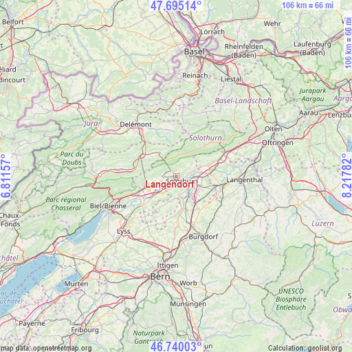
Langendorf GPS coordinates[2]
47° 13' 11.064" North, 7° 30' 52.884" East
| Map corner | latitude | longitude |
|---|---|---|
| Upper-left | 47.69514°, | 6.81157° |
| Center: | 47.21974°, | 7.51469° |
| Lower-right: | 46.74003°, | 8.21782° |
| Map W x H: | 106.2×106.2 km | = 66×66mi |
| max Lat: | 47.76737° ⇑51.1% North |
| Langendorf: | 47.21974° |
| min Lat: | ⇓48.9% South 45.83203° |
| min Long | Langendorf | max Long |
| 5.97153° | 7.51469° | 10.44624° |
| W 25%⇐ | ⇒75% E |
Elevation
Elevation of Langendorf is 483 m = 1585 ft, and this is 75.2 m = 247 ft below average elevation for this country.
| Max E: |
1845 m = 6053 ft | 48.2% |
| Avg. | 558.2 m = 1831 ft | |
| Langendorf | 483 m = 1585 ft | |
Min E: |
197 m = 646 ft | 51.8% |
See also: Switzerland elevation on elevation.city.
Geographical zone
Langendorf is located in North temperate zone (between Tropic of Cancer and the Arctic Circle). Distance of this North polar circle is 2150.8 km =1336.4 mi to North.| Distance of | km | miles | from Langendorf |
|---|---|---|---|
| North Pole | 4756.7 | 2955.7 | to North |
| Arctic Circle | 2150.8 | 1336.4 | to North |
| Tropic Cancer | 2644.4 | 1643.2 | to South |
| Equator | 5250.3 | 3262.4 | to South |


Nearby cities:
15 places around Langendorf: (largest is in red/bold)
• Attiswil
8 km =5 mi,  68°
68°
• Bettlach
7.2 km =4.5 mi,  252°
252°
• Biberist
5.7 km =3.5 mi,  140°
140°
• Deitingen
7.9 km =4.9 mi,  93°
93°
• Derendingen
6.1 km =3.8 mi,  112°
112°
• Gerlafingen
7 km =4.3 mi, 141°
• Kriegstetten
8.1 km =5 mi,  128°
128°
• Leuzigen
6.6 km =4.1 mi,  220°
220°
• Luterbach
5.3 km =3.3 mi,  96°
96°
• Riedholz
4.3 km =2.7 mi, 71°
• Selzach
4.8 km =3 mi, 250°
• Solothurn
2.1 km =1.3 mi, 127°
• Subingen
8.3 km =5.2 mi, 106°
• Welschenrohr
6.8 km =4.2 mi,  7°
7°
• Zuchwil
4.4 km =2.7 mi,  117°
117°
Sources, notices
• [Note1] Compared only with cities in Switzerland existing in our database
• [Src1] Map data: © OpenStreetMap contributors (CC-BY-SA)
• [Src2] Other city data from geonames.org with taken over terms of usage.
• [Src3] Geographical zone / Annual Mean Temperature by Robert A. Rohde @ Wikipedia
