Büsserach geodata
Büsserach (Solothurn) is a populated place; located in Switzerland in Europe/Zurich (GMT+2) time zone. With population of 1,863 people, there are 883 cities with bigger population in this country. Compared to other cities in Switzerland, 72.2% of cities are located further ↓South; 74.1% of cities are located further →East and 82.8% of cities have higher elevation than Büsserach. Note1


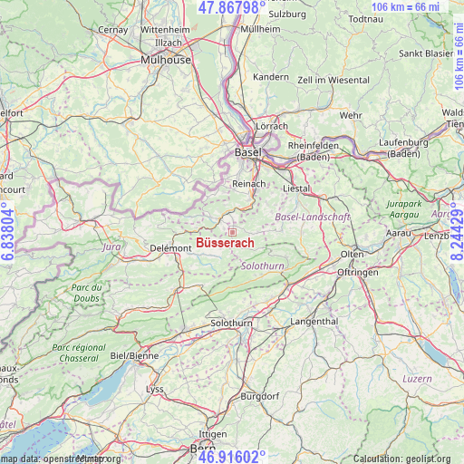
Büsserach GPS coordinates[2]
47° 23' 38.94" North, 7° 32' 28.212" East
| Map corner | latitude | longitude |
|---|---|---|
| Upper-left | 47.86798°, | 6.83804° |
| Center: | 47.39415°, | 7.54117° |
| Lower-right: | 46.91602°, | 8.24429° |
| Map W x H: | 105.8×105.8 km | = 65.7×65.7mi |
| max Lat: | 47.76737° ⇑27.8% North |
| Büsserach: | 47.39415° |
| min Lat: | ⇓72.2% South 45.83203° |
| min Long | Büsserach | max Long |
| 5.97153° | 7.54117° | 10.44624° |
| W 25.9%⇐ | ⇒74.1% E |
Elevation
Elevation of Büsserach is 416 m = 1365 ft, and this is 142.2 m = 467 ft below average elevation for this country.
| Max E: |
1845 m = 6053 ft | 82.8% |
| Avg. | 558.2 m = 1831 ft | |
| Büsserach | 416 m = 1365 ft | |
Min E: |
197 m = 646 ft | 17.2% |
See also: Switzerland elevation on elevation.city.
Geographical zone
Büsserach is located in North temperate zone (between Tropic of Cancer and the Arctic Circle). Distance of this North polar circle is 2131.4 km =1324.4 mi to North.| Distance of | km | miles | from Büsserach |
|---|---|---|---|
| North Pole | 4737.3 | 2943.6 | to North |
| Arctic Circle | 2131.4 | 1324.4 | to North |
| Tropic Cancer | 2663.8 | 1655.2 | to South |
| Equator | 5269.7 | 3274.4 | to South |


Nearby cities:
15 places around Büsserach: (largest is in red/bold)
• Blauen
6.4 km =4 mi,  345°
345°
• Breitenbach
1.4 km =0.9 mi,  13°
13°
• Brislach
2.6 km =1.6 mi,  3°
3°
• Bärschwil
5.4 km =3.4 mi,  255°
255°
• Erschwil
2.2 km =1.4 mi,  180°
180°
• Grellingen
6.5 km =4 mi,  33°
33°
• Himmelried
5.4 km =3.4 mi,  55°
55°
• Laufen
4.4 km =2.7 mi,  314°
314°
• Mervelier
6.4 km =4 mi,  208°
208°
• Nunningen
5.9 km =3.7 mi,  90°
90°
• Pfeffingen
8.2 km =5.1 mi, 26°
• Röschenz
5.6 km =3.5 mi, 305°
• Wahlen
2.2 km =1.4 mi,  294°
294°
• Zullwil
4.5 km =2.8 mi, 94°
• Zwingen
5 km =3.1 mi, 350°
Sources, notices
• [Note1] Compared only with cities in Switzerland existing in our database
• [Src1] Map data: © OpenStreetMap contributors (CC-BY-SA)
• [Src2] Other city data from geonames.org with taken over terms of usage.
• [Src3] Geographical zone / Annual Mean Temperature by Robert A. Rohde @ Wikipedia
