Zullwil geodata
Zullwil (Solothurn) is a populated place; located in Switzerland in Europe/Zurich (GMT+2) time zone. With population of 587 people, there are 1707 cities with bigger population in this country. Compared to other cities in Switzerland, 71.4% of cities are located further ↓South; 71.6% of cities are located further →East and 72.7% of cities have lower elevation than Zullwil. Note1


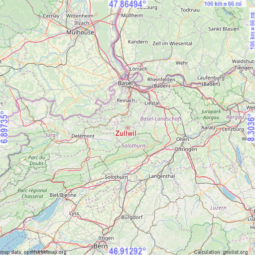
Zullwil GPS coordinates[2]
47° 23' 27.888" North, 7° 36' 1.692" East
| Map corner | latitude | longitude |
|---|---|---|
| Upper-left | 47.86494°, | 6.89735° |
| Center: | 47.39108°, | 7.60047° |
| Lower-right: | 46.91292°, | 8.3036° |
| Map W x H: | 105.9×105.9 km | = 65.8×65.8mi |
| max Lat: | 47.76737° ⇑28.6% North |
| Zullwil: | 47.39108° |
| min Lat: | ⇓71.4% South 45.83203° |
| min Long | Zullwil | max Long |
| 5.97153° | 7.60047° | 10.44624° |
| W 28.4%⇐ | ⇒71.6% E |
Elevation
Elevation of Zullwil is 594 m = 1949 ft, and this is 35.8 m = 117 ft above average elevation for this country.
| Max E: |
1845 m = 6053 ft | 27.3% |
| Zullwil | 594 m 1949 ft | |
| Avg. | 558.2 m = 1831 ft | |
Min E: |
197 m = 646 ft | 72.7% |
See also: Switzerland elevation on elevation.city.
Geographical zone
Zullwil is located in North temperate zone (between Tropic of Cancer and the Arctic Circle). Distance of this North polar circle is 2131.8 km =1324.6 mi to North.| Distance of | km | miles | from Zullwil |
|---|---|---|---|
| North Pole | 4737.7 | 2943.9 | to North |
| Arctic Circle | 2131.8 | 1324.6 | to North |
| Tropic Cancer | 2663.5 | 1655 | to South |
| Equator | 5269.4 | 3274.3 | to South |


Nearby cities:
15 places around Zullwil: (largest is in red/bold)
• Blauen
8.9 km =5.5 mi,  316°
316°
• Breitenbach
4.5 km =2.8 mi,  292°
292°
• Bretzwil
4 km =2.5 mi,  79°
79°
• Brislach
5.2 km =3.2 mi,  304°
304°
• Büsserach
4.5 km =2.8 mi,  274°
274°
• Erschwil
4.8 km =3 mi,  247°
247°
• Grellingen
5.8 km =3.6 mi,  351°
351°
• Himmelried
3.4 km =2.1 mi,  359°
359°
• Hochwald
7.7 km =4.8 mi,  25°
25°
• Laufen
8.3 km =5.2 mi, 294°
• Nunningen
1.5 km =0.9 mi, 76°
• Pfeffingen
7.7 km =4.8 mi, 353°
• Reigoldswil
6.6 km =4.1 mi, 83°
• Wahlen
6.5 km =4 mi,  280°
280°
• Zwingen
7.4 km =4.6 mi,  314°
314°
Sources, notices
• [Note1] Compared only with cities in Switzerland existing in our database
• [Src1] Map data: © OpenStreetMap contributors (CC-BY-SA)
• [Src2] Other city data from geonames.org with taken over terms of usage.
• [Src3] Geographical zone / Annual Mean Temperature by Robert A. Rohde @ Wikipedia
