Laufen geodata
Laufen (Basel-Landschaft) is a seat of a second-order administrative division; located in Switzerland in Europe/Zurich (GMT+2) time zone. With population of 5,210 people, there are 327 cities with bigger population in this country. Compared to other cities in Switzerland, 78.1% of cities are located further ↓South; 75.6% of cities are located further →East and 95.1% of cities have higher elevation than Laufen. Note1


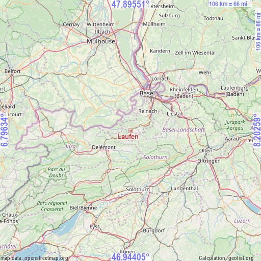
Laufen GPS coordinates[2]
47° 25' 18.948" North, 7° 29' 58.056" East
| Map corner | latitude | longitude |
|---|---|---|
| Upper-left | 47.89551°, | 6.79634° |
| Center: | 47.42193°, | 7.49946° |
| Lower-right: | 46.94405°, | 8.20259° |
| Map W x H: | 105.8×105.8 km | = 65.7×65.7mi |
| max Lat: | 47.76737° ⇑21.9% North |
| Laufen: | 47.42193° |
| min Lat: | ⇓78.1% South 45.83203° |
| min Long | Laufen | max Long |
| 5.97153° | 7.49946° | 10.44624° |
| W 24.4%⇐ | ⇒75.6% E |
Elevation
Elevation of Laufen is 354 m = 1161 ft, and this is 204.2 m = 670 ft below average elevation for this country.
| Max E: |
1845 m = 6053 ft | 95.1% |
| Avg. | 558.2 m = 1831 ft | |
| Laufen | 354 m = 1161 ft | |
Min E: |
197 m = 646 ft | 4.9% |
See also: Switzerland elevation on elevation.city.
Geographical zone
Laufen is located in North temperate zone (between Tropic of Cancer and the Arctic Circle). Distance of this North polar circle is 2128.3 km =1322.5 mi to North.| Distance of | km | miles | from Laufen |
|---|---|---|---|
| North Pole | 4734.2 | 2941.7 | to North |
| Arctic Circle | 2128.3 | 1322.5 | to North |
| Tropic Cancer | 2666.9 | 1657.1 | to South |
| Equator | 5272.8 | 3276.4 | to South |


Nearby cities:
15 places around Laufen: (largest is in red/bold)
• Blauen
3.5 km =2.2 mi,  25°
25°
• Breitenbach
3.9 km =2.4 mi,  116°
116°
• Brislach
3.3 km =2.1 mi,  98°
98°
• Bärschwil
4.9 km =3 mi,  204°
204°
• Büsserach
4.4 km =2.7 mi,  134°
134°
• Erschwil
6.2 km =3.9 mi,  149°
149°
• Ettingen
7.6 km =4.7 mi, 27°
• Grellingen
7.1 km =4.4 mi,  71°
71°
• Himmelried
7.6 km =4.7 mi,  90°
90°
• Kleinlützel
6.3 km =3.9 mi,  273°
273°
• Liesberg
5.7 km =3.5 mi,  249°
249°
• Rodersdorf
7.3 km =4.5 mi,  334°
334°
• Röschenz
1.5 km =0.9 mi,  277°
277°
• Wahlen
2.5 km =1.6 mi, 151°
• Zwingen
2.9 km =1.8 mi,  51°
51°
Sources, notices
• [Note1] Compared only with cities in Switzerland existing in our database
• [Src1] Map data: © OpenStreetMap contributors (CC-BY-SA)
• [Src2] Other city data from geonames.org with taken over terms of usage.
• [Src3] Geographical zone / Annual Mean Temperature by Robert A. Rohde @ Wikipedia
