Bärschwil geodata
Bärschwil (Solothurn) is a populated place; located in Switzerland in Europe/Zurich (GMT+2) time zone. With population of 918 people, there are 1394 cities with bigger population in this country. Compared to other cities in Switzerland, 69.4% of cities are located further ↓South; 76.4% of cities are located further →East and 55.4% of cities have higher elevation than Bärschwil. Note1


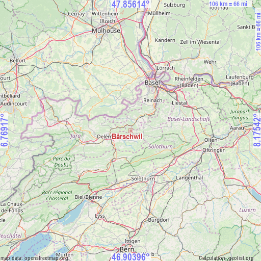
Bärschwil GPS coordinates[2]
47° 22' 55.92" North, 7° 28' 20.244" East
| Map corner | latitude | longitude |
|---|---|---|
| Upper-left | 47.85614°, | 6.76917° |
| Center: | 47.3822°, | 7.47229° |
| Lower-right: | 46.90396°, | 8.17542° |
| Map W x H: | 105.9×105.9 km | = 65.8×65.8mi |
| max Lat: | 47.76737° ⇑30.6% North |
| Bärschwil: | 47.3822° |
| min Lat: | ⇓69.4% South 45.83203° |
| min Long | Bärschwil | max Long |
| 5.97153° | 7.47229° | 10.44624° |
| W 23.6%⇐ | ⇒76.4% E |
Elevation
Elevation of Bärschwil is 466 m = 1529 ft, and this is 92.2 m = 302 ft below average elevation for this country.
| Max E: |
1845 m = 6053 ft | 55.4% |
| Avg. | 558.2 m = 1831 ft | |
| Bärschwil | 466 m = 1529 ft | |
Min E: |
197 m = 646 ft | 44.6% |
See also: Switzerland elevation on elevation.city.
Geographical zone
Bärschwil is located in North temperate zone (between Tropic of Cancer and the Arctic Circle). Distance of this North polar circle is 2132.8 km =1325.3 mi to North.| Distance of | km | miles | from Bärschwil |
|---|---|---|---|
| North Pole | 4738.7 | 2944.5 | to North |
| Arctic Circle | 2132.8 | 1325.3 | to North |
| Tropic Cancer | 2662.5 | 1654.4 | to South |
| Equator | 5268.4 | 3273.6 | to South |


Nearby cities:
15 places around Bärschwil: (largest is in red/bold)
• Blauen
8.3 km =5.2 mi,  25°
25°
• Breitenbach
6.1 km =3.8 mi,  63°
63°
• Brislach
6.6 km =4.1 mi,  53°
53°
• Büsserach
5.4 km =3.4 mi,  75°
75°
• Courrendlin
9 km =5.6 mi,  237°
237°
• Courroux
7.8 km =4.8 mi,  252°
252°
• Erschwil
5.3 km =3.3 mi,  99°
99°
• Kleinlützel
6.4 km =4 mi,  318°
318°
• Laufen
4.9 km =3 mi,  24°
24°
• Liesberg
4.1 km =2.5 mi,  305°
305°
• Mervelier
4.8 km =3 mi,  154°
154°
• Röschenz
4.6 km =2.9 mi,  7°
7°
• Vicques
5.7 km =3.5 mi,  231°
231°
• Wahlen
3.9 km =2.4 mi, 55°
• Zwingen
7.6 km =4.7 mi, 34°
Sources, notices
• [Note1] Compared only with cities in Switzerland existing in our database
• [Src1] Map data: © OpenStreetMap contributors (CC-BY-SA)
• [Src2] Other city data from geonames.org with taken over terms of usage.
• [Src3] Geographical zone / Annual Mean Temperature by Robert A. Rohde @ Wikipedia
