Niakaramandougou geodata
Niakaramandougou (Vallée du Bandama) is a seat of a third-order administrative division; located in Ivory Coast in Africa/Abidjan (GMT+0) time zone. In our database, there are 63 cities with bigger population. Compared to other cities in Ivory Coast, 82.9% of cities are located further ↓South; 50.4% of cities are located further →East and 88% of cities have lower elevation than Niakaramandougou. Note1


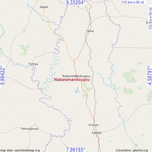
Niakaramandougou GPS coordinates[2]
8° 39' 27.324" North, 5° 17' 27.924" West
| Map corner | latitude | longitude |
|---|---|---|
| Upper-left | 9.35204°, | -5.99422° |
| Center: | 8.65759°, | -5.29109° |
| Lower-right: | 7.96185°, | -4.58797° |
| Map W x H: | 154.6×154.6 km | = 96.1×96.1mi |
| max Lat: | 10.48115° ⇑17.1% North |
| Niakaramandougou: | 8.65759° |
| min Lat: | ⇓82.9% South 4.42295° |
| min Long | Niakaramandougo | max Long |
| -8.42592° | -5.29109° | -2.80003° |
| W 49.6%⇐ | ⇒50.4% E |
Elevation
Elevation of Niakaramandougou is 385 m = 1263 ft, and this is 160.7 m = 527 ft above average elevation for this country.
| Max E: |
556 m = 1824 ft | 12% |
| Niakaramandougou | 385 m 1263 ft | |
| Avg. | 224.3 m = 736 ft | |
Min E: |
7 m = 23 ft | 88% |
See also: Ivory Coast elevation on elevation.city.
Geographical zone
Niakaramandougou is located in North Torrid zone (between Equator and Tropic of Cancer). Distance of Equator is 962.6 km =598.1 mi to South.| Distance of | km | miles | from Niakaramandougou |
|---|---|---|---|
| North Pole | 9044.4 | 5619.9 | to North |
| Arctic Circle | 6438.5 | 4000.7 | to North |
| Tropic Cancer | 1643.3 | 1021.1 | to North |
| Equator | 962.6 | 598.1 | to South |


Nearby cities:
15 places around Niakaramandougou: (largest is in red/bold)
• Botro
89.5 km =55.6 mi,  181°
181°
• Bouaké
110.9 km =68.9 mi,  165°
165°
• Béoumi
113.9 km =70.8 mi,  196°
196°
• Dabakala
100.3 km =62.3 mi,  109°
109°
• Dianra
110.6 km =68.7 mi,  286°
286°
• Dikodougou
69.8 km =43.4 mi,  310°
310°
• Ferkessédougou
104.5 km =64.9 mi,  5°
5°
• Kani
145.8 km =90.6 mi,  262°
262°
• Katiola
61.5 km =38.2 mi,  160°
160°
• Kong
92.7 km =57.6 mi,  53°
53°
• Korhogo
96.5 km =60 mi,  337°
337°
• Kounahiri
113.4 km =70.5 mi,  211°
211°
• Mankono
119.2 km =74.1 mi,  236°
236°
• Sakassou
133.8 km =83.1 mi, 180°
• Sinématiali
103.5 km =64.3 mi,  354°
354°
Sources, notices
• [Note1] Compared only with cities in Ivory Coast existing in our database
• [Src1] Map data: © OpenStreetMap contributors (CC-BY-SA)
• [Src2] Other city data from geonames.org with taken over terms of usage.
• [Src3] Geographical zone / Annual Mean Temperature by Robert A. Rohde @ Wikipedia
