Kounahiri geodata
Kounahiri (Woroba) is a seat of a third-order administrative division; located in Ivory Coast in Africa/Abidjan (GMT+0) time zone. In our database, there are 63 cities with bigger population. Compared to other cities in Ivory Coast, 70.1% of cities are located further ↓South; 60.7% of cities are located further →East and 68.4% of cities have lower elevation than Kounahiri. Note1


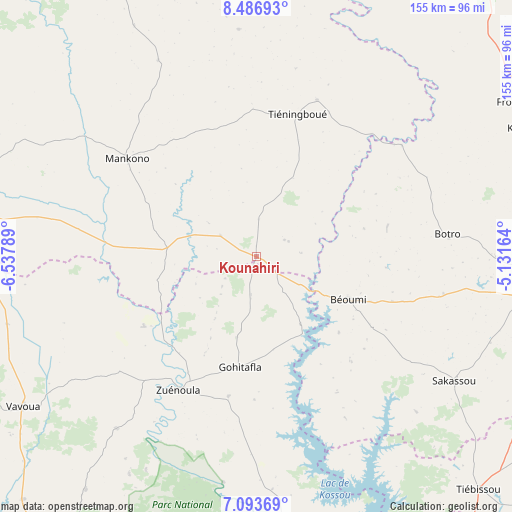
Kounahiri GPS coordinates[2]
7° 47' 27.204" North, 5° 50' 5.172" West
| Map corner | latitude | longitude |
|---|---|---|
| Upper-left | 8.48693°, | -6.53789° |
| Center: | 7.79089°, | -5.83477° |
| Lower-right: | 7.09369°, | -5.13164° |
| Map W x H: | 154.9×154.9 km | = 96.3×96.3mi |
| max Lat: | 10.48115° ⇑29.9% North |
| Kounahiri: | 7.79089° |
| min Lat: | ⇓70.1% South 4.42295° |
| min Long | Kounahiri | max Long |
| -8.42592° | -5.83477° | -2.80003° |
| W 39.3%⇐ | ⇒60.7% E |
Elevation
Elevation of Kounahiri is 301 m = 988 ft, and this is 76.7 m = 252 ft above average elevation for this country.
| Max E: |
556 m = 1824 ft | 31.6% |
| Kounahiri | 301 m 988 ft | |
| Avg. | 224.3 m = 736 ft | |
Min E: |
7 m = 23 ft | 68.4% |
See also: Ivory Coast elevation on elevation.city.
Geographical zone
Kounahiri is located in North Torrid zone (between Equator and Tropic of Cancer). Distance of Equator is 866.3 km =538.3 mi to South.| Distance of | km | miles | from Kounahiri |
|---|---|---|---|
| North Pole | 9140.8 | 5679.8 | to North |
| Arctic Circle | 6534.9 | 4060.6 | to North |
| Tropic Cancer | 1739.7 | 1081 | to North |
| Equator | 866.3 | 538.3 | to South |


Nearby cities:
15 places around Kounahiri: (largest is in red/bold)
• Botro
58.1 km =36.1 mi,  83°
83°
• Bouaflé
89.6 km =55.7 mi,  173°
173°
• Bouaké
89.3 km =55.5 mi,  96°
96°
• Béoumi
30.9 km =19.2 mi,  114°
114°
• Daloa
122.2 km =75.9 mi,  213°
213°
• Kani
114.1 km =70.9 mi,  312°
312°
• Katiola
89.5 km =55.6 mi,  64°
64°
• Mankono
49.1 km =30.5 mi, 307°
• Niakaramandougou
113.4 km =70.5 mi,  31°
31°
• Sakassou
70.5 km =43.8 mi,  122°
122°
• Séguéla
94.2 km =58.5 mi,  281°
281°
• Tiébissou
97.4 km =60.5 mi,  136°
136°
• Vavoua
84.2 km =52.3 mi,  237°
237°
• Yamoussoukro
124.2 km =77.2 mi,  150°
150°
• Zuénoula
46.6 km =29 mi, 210°
Sources, notices
• [Note1] Compared only with cities in Ivory Coast existing in our database
• [Src1] Map data: © OpenStreetMap contributors (CC-BY-SA)
• [Src2] Other city data from geonames.org with taken over terms of usage.
• [Src3] Geographical zone / Annual Mean Temperature by Robert A. Rohde @ Wikipedia
