Ngambé geodata
Ngambé (Littoral) is a populated place; located in Cameroon in Africa/Douala (GMT+1) time zone. With population of 6,414 people, there are 90 cities with bigger population in this country. Compared to other cities in Cameroon, 72.1% of cities are located further ↑North; 59% of cities are located further →East and 54.9% of cities have higher elevation than Ngambé. Note1


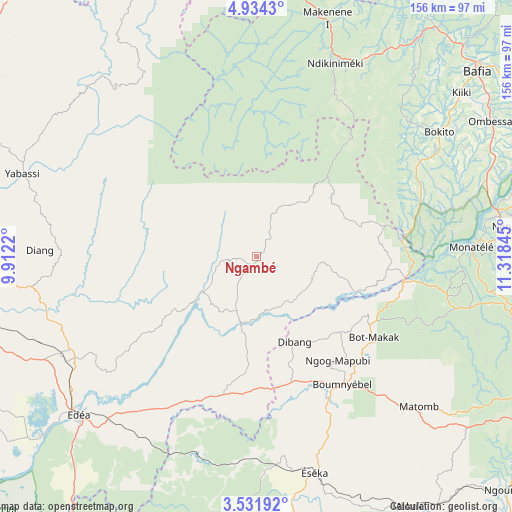
Ngambé GPS coordinates[2]
4° 14' 0.348" North, 10° 36' 55.152" East
| Map corner | latitude | longitude |
|---|---|---|
| Upper-left | 4.9343°, | 9.9122° |
| Center: | 4.23343°, | 10.61532° |
| Lower-right: | 3.53192°, | 11.31845° |
| Map W x H: | 155.9×155.9 km | = 96.9×96.9mi |
| max Lat: | 12.57535° ⇑72.1% North |
| Ngambé: | 4.23343° |
| min Lat: | ⇓27.9% South 2.35° |
| min Long | Ngambé | max Long |
| 8.8724° | 10.61532° | 15.23288° |
| W 41%⇐ | ⇒59% E |
Elevation
Elevation of Ngambé is 575 m = 1886 ft, and this is 98.9 m = 324 ft below average elevation for this country.
| Max E: |
1687 m = 5535 ft | 54.9% |
| Avg. | 673.9 m = 2211 ft | |
| Ngambé | 575 m = 1886 ft | |
Min E: |
1 m = 3 ft | 45.1% |
See also: Cameroon elevation on elevation.city.
Geographical zone
Ngambé is located in North Torrid zone (between Equator and Tropic of Cancer). Distance of Equator is 470.7 km =292.5 mi to South.| Distance of | km | miles | from Ngambé |
|---|---|---|---|
| North Pole | 9536.3 | 5925.6 | to North |
| Arctic Circle | 6930.5 | 4306.4 | to North |
| Tropic Cancer | 2135.2 | 1326.8 | to North |
| Equator | 470.7 | 292.5 | to South |


Nearby cities:
15 places around Ngambé: (largest is in red/bold)
• Bafia
89.4 km =55.6 mi,  50°
50°
• Bangangté
101.4 km =63 mi,  354°
354°
• Bazou
93.4 km =58 mi, 349°
• Diang
66.4 km =41.3 mi,  271°
271°
• Dizangué
87.2 km =54.2 mi,  233°
233°
• Edéa
72 km =44.7 mi, 227°
• Eséka
67 km =41.6 mi,  165°
165°
• Mbankomo
98.8 km =61.4 mi,  120°
120°
• Ndikiniméki
64 km =39.8 mi,  22°
22°
• Okola
88.5 km =55 mi,  105°
105°
• Ombésa
81.3 km =50.5 mi,  59°
59°
• Saa
93.7 km =58.2 mi,  80°
80°
• Tonga
82.1 km =51 mi,  6°
6°
• Yabassi
75.9 km =47.2 mi,  289°
289°
• Évodoula
67 km =41.6 mi,  104°
104°
Sources, notices
• [Note1] Compared only with cities in Cameroon existing in our database
• [Src1] Map data: © OpenStreetMap contributors (CC-BY-SA)
• [Src2] Other city data from geonames.org with taken over terms of usage.
• [Src3] Geographical zone / Annual Mean Temperature by Robert A. Rohde @ Wikipedia
