Yanjiang geodata
Yanjiang (Sichuan) is a seat of a third-order administrative division; located in China in Asia/Shanghai (GMT+8) time zone. With population of 87,400 people, there are 488 cities with bigger population in this country. Compared to other cities in China, 52.8% of cities are located further ↑North; 89.5% of cities are located further →East and 67.3% of cities have lower elevation than Yanjiang. Note1


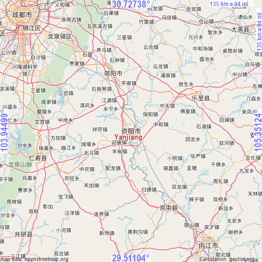
Yanjiang GPS coordinates[2]
30° 7' 15.888" North, 104° 38' 53.196" East
| Map corner | latitude | longitude |
|---|---|---|
| Upper-left | 30.72738°, | 103.94499° |
| Center: | 30.12108°, | 104.64811° |
| Lower-right: | 29.51104°, | 105.35124° |
| Map W x H: | 135.2×135.2 km | = 84×84mi |
| max Lat: | 53.31946° ⇑52.8% North |
| Yanjiang: | 30.12108° |
| min Lat: | ⇓47.2% South 18.22056° |
| min Long | Yanjiang | max Long |
| 75.07348° | 104.64811° | 134.28917° |
| W 10.5%⇐ | ⇒89.5% E |
Elevation
Elevation of Yanjiang is 365 m = 1198 ft, and this is 119.8 m = 393 ft below average elevation for this country.
| Max E: |
5622 m = 18445 ft | 32.7% |
| Avg. | 484.8 m = 1591 ft | |
| Yanjiang | 365 m = 1198 ft | |
Min E: |
-3 m = -10 ft | 67.3% |
See also: Yanjiang elevation on elevation.city.
Geographical zone
Yanjiang is located in North temperate zone (between Tropic of Cancer and the Arctic Circle). Distance of this Northern Tropic circle is 743.2 km =461.8 mi to South.| Distance of | km | miles | from Yanjiang |
|---|---|---|---|
| North Pole | 6657.9 | 4137 | to North |
| Arctic Circle | 4052 | 2517.8 | to North |
| Tropic Cancer | 743.2 | 461.8 | to South |
| Equator | 3349.2 | 2081.1 | to South |


Nearby cities:
15 places around Yanjiang: (largest is in red/bold)
• Anju
81.7 km =50.8 mi,  71°
71°
• Chengdu
82.4 km =51.2 mi,  317°
317°
• Chonglong
42.7 km =26.5 mi,  152°
152°
• Dongsheng
86 km =53.4 mi,  305°
305°
• Gongjing
86.2 km =53.6 mi,  175°
175°
• Jiancheng
31.5 km =19.6 mi,  342°
342°
• Longquan
61 km =37.9 mi, 323°
• Neijiang
71.9 km =44.7 mi, 146°
• Penglai
77.3 km =48 mi,  48°
48°
• Tianchi
40.2 km =25 mi,  63°
63°
• Wenlin
50.8 km =31.6 mi,  254°
254°
• Xuyang
76.8 km =47.7 mi,  196°
196°
• Yancheng
76.6 km =47.6 mi,  226°
226°
• Yanling
65.7 km =40.8 mi, 178°
• Zhaozhen
84.2 km =52.3 mi,  346°
346°
Sources, notices
• [Note1] Compared only with cities in China existing in our database
• [Src1] Map data: © OpenStreetMap contributors (CC-BY-SA)
• [Src2] Other city data from geonames.org with taken over terms of usage.
• [Src3] Geographical zone / Annual Mean Temperature by Robert A. Rohde @ Wikipedia
