Xinzhou geodata
Xinzhou (Guangxi) is a seat of a third-order administrative division; located in China in Asia/Shanghai (GMT+8) time zone. In our database, there are 1268 cities with bigger population. Compared to other cities in China, 86.9% of cities are located further ↑North; 88.5% of cities are located further →East and 84.7% of cities have lower elevation than Xinzhou. Note1


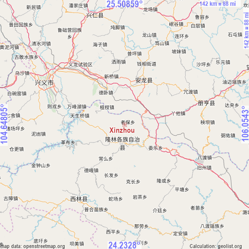
Xinzhou GPS coordinates[2]
24° 52' 20.424" North, 105° 21' 4.212" East
| Map corner | latitude | longitude |
|---|---|---|
| Upper-left | 25.50859°, | 104.64805° |
| Center: | 24.87234°, | 105.35117° |
| Lower-right: | 24.2328°, | 106.0543° |
| Map W x H: | 141.9×141.9 km | = 88.2×88.2mi |
| max Lat: | 53.31946° ⇑86.9% North |
| Xinzhou: | 24.87234° |
| min Lat: | ⇓13.1% South 18.22056° |
| min Long | Xinzhou | max Long |
| 75.07348° | 105.35117° | 134.28917° |
| W 11.5%⇐ | ⇒88.5% E |
Elevation
Elevation of Xinzhou is 961 m = 3153 ft, and this is 476.2 m = 1562 ft above average elevation for this country.
| Max E: |
5622 m = 18445 ft | 15.3% |
| Xinzhou | 961 m 3153 ft | |
| Avg. | 484.8 m = 1591 ft | |
Min E: |
-3 m = -10 ft | 84.7% |
See also: China elevation on elevation.city.
Geographical zone
Xinzhou is located in North temperate zone (between Tropic of Cancer and the Arctic Circle). Distance of this Northern Tropic circle is 159.6 km =99.2 mi to South.| Distance of | km | miles | from Xinzhou |
|---|---|---|---|
| North Pole | 7241.5 | 4499.7 | to North |
| Arctic Circle | 4635.6 | 2880.4 | to North |
| Tropic Cancer | 159.6 | 99.2 | to South |
| Equator | 2765.5 | 1718.4 | to South |


Nearby cities:
15 places around Xinzhou: (largest is in red/bold)
• Anshun
163.9 km =101.8 mi,  20°
20°
• Bada
40.5 km =25.2 mi,  219°
219°
• Danfeng
135.6 km =84.3 mi,  268°
268°
• Gaojiacun
136.6 km =84.9 mi,  288°
288°
• Jianxincun
163.9 km =101.8 mi,  310°
310°
• Jinping
147.3 km =91.5 mi,  230°
230°
• Leli
107.1 km =66.5 mi,  122°
122°
• Liancheng
95.4 km =59.3 mi,  197°
197°
• Luoxiong
106.8 km =66.4 mi, 270°
• Napo Chengxiangzhen
161.2 km =100.2 mi,  163°
163°
• Sicheng
134.8 km =83.8 mi,  112°
112°
• Tongle
123.6 km =76.8 mi,  91°
91°
• Xinhua
140.1 km =87.1 mi,  167°
167°
• Zhongshu
164.9 km =102.5 mi,  256°
256°
• Zhong’an
142.9 km =88.8 mi, 308°
Sources, notices
• [Note1] Compared only with cities in China existing in our database
• [Src1] Map data: © OpenStreetMap contributors (CC-BY-SA)
• [Src2] Other city data from geonames.org with taken over terms of usage.
• [Src3] Geographical zone / Annual Mean Temperature by Robert A. Rohde @ Wikipedia
