Tongle geodata
Tongle (Guangxi) is a seat of a third-order administrative division; located in China in Asia/Shanghai (GMT+8) time zone. In our database, there are 1268 cities with bigger population. Compared to other cities in China, 87% of cities are located further ↑North; 84.9% of cities are located further →East and 87.8% of cities have lower elevation than Tongle. Note1


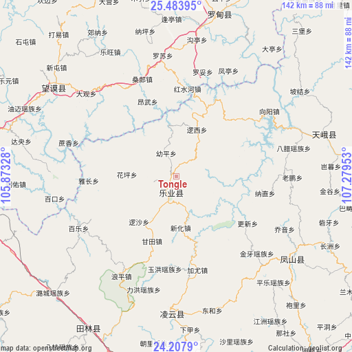
Tongle GPS coordinates[2]
24° 50' 51.252" North, 106° 34' 35.04" East
| Map corner | latitude | longitude |
|---|---|---|
| Upper-left | 25.48395°, | 105.87328° |
| Center: | 24.84757°, | 106.5764° |
| Lower-right: | 24.2079°, | 107.27953° |
| Map W x H: | 141.9×141.9 km | = 88.2×88.2mi |
| max Lat: | 53.31946° ⇑87% North |
| Tongle: | 24.84757° |
| min Lat: | ⇓13% South 18.22056° |
| min Long | Tongle | max Long |
| 75.07348° | 106.5764° | 134.28917° |
| W 15.1%⇐ | ⇒84.9% E |
Elevation
Elevation of Tongle is 1169 m = 3835 ft, and this is 684.2 m = 2245 ft above average elevation for this country.
| Max E: |
5622 m = 18445 ft | 12.2% |
| Tongle | 1169 m 3835 ft | |
| Avg. | 484.8 m = 1591 ft | |
Min E: |
-3 m = -10 ft | 87.8% |
See also: China elevation on elevation.city.
Geographical zone
Tongle is located in North temperate zone (between Tropic of Cancer and the Arctic Circle). Distance of this Northern Tropic circle is 156.9 km =97.5 mi to South.| Distance of | km | miles | from Tongle |
|---|---|---|---|
| North Pole | 7244.3 | 4501.4 | to North |
| Arctic Circle | 4638.4 | 2882.2 | to North |
| Tropic Cancer | 156.9 | 97.5 | to South |
| Equator | 2762.8 | 1716.7 | to South |


Nearby cities:
15 places around Tongle: (largest is in red/bold)
• Bada
152.4 km =94.7 mi,  259°
259°
• Baise City
105.5 km =65.6 mi,  177°
177°
• Bama
101.5 km =63.1 mi,  137°
137°
• Chuanshan
153.8 km =95.6 mi,  80°
80°
• Debao Chengguanzhen
162.7 km =101.1 mi, 180°
• Donglan
87.9 km =54.6 mi,  112°
112°
• Fengcheng
56.2 km =34.9 mi,  123°
123°
• Leli
64.4 km =40 mi,  211°
211°
• Liupai
63.9 km =39.7 mi,  70°
70°
• Maolan
162.5 km =101 mi, 68°
• Nandan Chengguanzhen
100.5 km =62.4 mi, 79°
• Pingma
144.7 km =89.9 mi,  158°
158°
• Sicheng
49.2 km =30.6 mi, 179°
• Tianzhou
123.2 km =76.6 mi, 164°
• Xinzhou
123.6 km =76.8 mi,  271°
271°
Sources, notices
• [Note1] Compared only with cities in China existing in our database
• [Src1] Map data: © OpenStreetMap contributors (CC-BY-SA)
• [Src2] Other city data from geonames.org with taken over terms of usage.
• [Src3] Geographical zone / Annual Mean Temperature by Robert A. Rohde @ Wikipedia
