Zhong’an geodata
Zhong’an (Yunnan) is a seat of a third-order administrative division; located in China in Asia/Shanghai (GMT+8) time zone. In our database, there are 1268 cities with bigger population. Compared to other cities in China, 83.6% of cities are located further ↑North; 90% of cities are located further →East and 94% of cities have lower elevation than Zhong’an. Note1


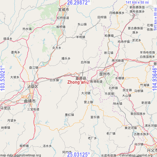
Zhong’an GPS coordinates[2]
25° 40' 0.012" North, 104° 13' 59.988" East
| Map corner | latitude | longitude |
|---|---|---|
| Upper-left | 26.29872°, | 103.53021° |
| Center: | 25.66667°, | 104.23333° |
| Lower-right: | 25.03125°, | 104.93646° |
| Map W x H: | 140.9×140.9 km | = 87.6×87.6mi |
| max Lat: | 53.31946° ⇑83.6% North |
| Zhong’an: | 25.66667° |
| min Lat: | ⇓16.4% South 18.22056° |
| min Long | Zhong’an | max Long |
| 75.07348° | 104.23333° | 134.28917° |
| W 10%⇐ | ⇒90% E |
Elevation
Elevation of Zhong’an is 1882 m = 6175 ft, and this is 1397.2 m = 4584 ft above average elevation for this country.
| Max E: |
5622 m = 18445 ft | 6% |
| Zhong’an | 1882 m 6175 ft | |
| Avg. | 484.8 m = 1591 ft | |
Min E: |
-3 m = -10 ft | 94% |
See also: China elevation on elevation.city.
Geographical zone
Zhong’an is located in North temperate zone (between Tropic of Cancer and the Arctic Circle). Distance of this Northern Tropic circle is 247.9 km =154 mi to South.| Distance of | km | miles | from Zhong’an |
|---|---|---|---|
| North Pole | 7153.2 | 4444.8 | to North |
| Arctic Circle | 4547.3 | 2825.6 | to North |
| Tropic Cancer | 247.9 | 154 | to South |
| Equator | 2853.9 | 1773.3 | to South |


Nearby cities:
15 places around Zhong’an: (largest is in red/bold)
• Chengfangqiao
41.5 km =25.8 mi,  284°
284°
• Danfeng
95.7 km =59.5 mi,  193°
193°
• Dasongshu
84.2 km =52.3 mi,  308°
308°
• Gaojiacun
48.5 km =30.1 mi,  200°
200°
• Jianxincun
22.3 km =13.9 mi,  329°
329°
• Luoxiong
87.1 km =54.1 mi,  176°
176°
• Machang
49.2 km =30.6 mi,  4°
4°
• Pingpo
54.9 km =34.1 mi,  241°
241°
• Qujing
49.5 km =30.8 mi,  245°
245°
• Rende
96.7 km =60.1 mi,  262°
262°
• Tongquan
73.2 km =45.5 mi, 246°
• Xiaotiechang
90.8 km =56.4 mi,  319°
319°
• Xiping
44.5 km =27.7 mi, 260°
• Zhongshu
91.3 km =56.7 mi,  218°
218°
• Zhujiacun
74.5 km =46.3 mi,  12°
12°
Sources, notices
• [Note1] Compared only with cities in China existing in our database
• [Src1] Map data: © OpenStreetMap contributors (CC-BY-SA)
• [Src2] Other city data from geonames.org with taken over terms of usage.
• [Src3] Geographical zone / Annual Mean Temperature by Robert A. Rohde @ Wikipedia
