Xinzhan geodata
Xinzhan (Guizhou) is a populated place; located in China in Asia/Shanghai (GMT+8) time zone. With population of 2,400 people, there are 994 cities with bigger population in this country. Compared to other cities in China, 70.8% of cities are located further ↑North; 84.1% of cities are located further →East and 75.3% of cities have lower elevation than Xinzhan. Note1


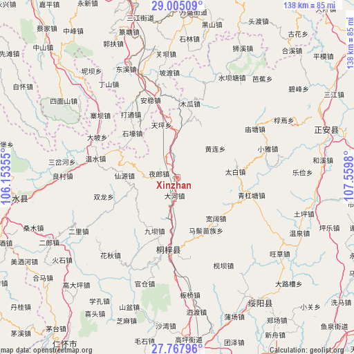
Xinzhan GPS coordinates[2]
28° 23' 17.988" North, 106° 51' 24.012" East
| Map corner | latitude | longitude |
|---|---|---|
| Upper-left | 29.00509°, | 106.15355° |
| Center: | 28.38833°, | 106.85667° |
| Lower-right: | 27.76796°, | 107.5598° |
| Map W x H: | 137.6×137.6 km | = 85.5×85.5mi |
| max Lat: | 53.31946° ⇑70.8% North |
| Xinzhan: | 28.38833° |
| min Lat: | ⇓29.2% South 18.22056° |
| min Long | Xinzhan | max Long |
| 75.07348° | 106.85667° | 134.28917° |
| W 15.9%⇐ | ⇒84.1% E |
Elevation
Elevation of Xinzhan is 528 m = 1732 ft, and this is 43.2 m = 142 ft above average elevation for this country.
| Max E: |
5622 m = 18445 ft | 24.7% |
| Xinzhan | 528 m 1732 ft | |
| Avg. | 484.8 m = 1591 ft | |
Min E: |
-3 m = -10 ft | 75.3% |
See also: China elevation on elevation.city.
Geographical zone
Xinzhan is located in North temperate zone (between Tropic of Cancer and the Arctic Circle). Distance of this Northern Tropic circle is 550.6 km =342.1 mi to South.| Distance of | km | miles | from Xinzhan |
|---|---|---|---|
| North Pole | 6850.6 | 4256.8 | to North |
| Arctic Circle | 4244.7 | 2637.5 | to North |
| Tropic Cancer | 550.6 | 342.1 | to South |
| Equator | 3156.5 | 1961.4 | to South |


Nearby cities:
15 places around Xinzhan: (largest is in red/bold)
• Anwen
33.9 km =21.1 mi,  343°
343°
• Chumi
17.4 km =10.8 mi,  187°
187°
• Dahe
7.4 km =4.6 mi,  195°
195°
• Datong
29.6 km =18.4 mi,  321°
321°
• Guandian
26.3 km =16.3 mi,  246°
246°
• Huanglian
18.5 km =11.5 mi,  53°
53°
• Huangyang
23.6 km =14.7 mi,  115°
115°
• Liziba
23.1 km =14.4 mi, 203°
• Loushanguan
28.2 km =17.5 mi, 186°
• Miaotang
35.8 km =22.2 mi,  58°
58°
• Songkan
17.9 km =11.1 mi,  0°
0°
• Taibai
22.7 km =14.1 mi,  84°
84°
• Wenshui
33 km =20.5 mi,  282°
282°
• Xianyuan
25.1 km =15.6 mi,  268°
268°
• Yelang
7.7 km =4.8 mi, 281°
Sources, notices
• [Note1] Compared only with cities in China existing in our database
• [Src1] Map data: © OpenStreetMap contributors (CC-BY-SA)
• [Src2] Other city data from geonames.org with taken over terms of usage.
• [Src3] Geographical zone / Annual Mean Temperature by Robert A. Rohde @ Wikipedia
