Xincheng geodata
Xincheng (Sichuan) is a seat of a third-order administrative division; located in China in Asia/Shanghai (GMT+8) time zone. In our database, there are 1268 cities with bigger population. Compared to other cities in China, 74% of cities are located further ↑North; 91.8% of cities are located further →East and 94.9% of cities have lower elevation than Xincheng. Note1


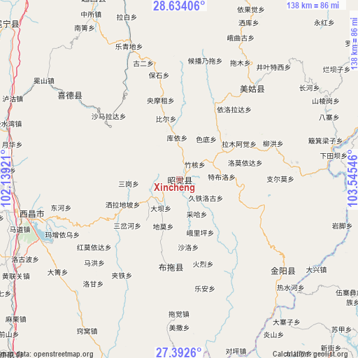
Xincheng GPS coordinates[2]
28° 0' 54.432" North, 102° 50' 32.388" East
| Map corner | latitude | longitude |
|---|---|---|
| Upper-left | 28.63406°, | 102.13921° |
| Center: | 28.01512°, | 102.84233° |
| Lower-right: | 27.3926°, | 103.54546° |
| Map W x H: | 138×138 km | = 85.7×85.7mi |
| max Lat: | 53.31946° ⇑74% North |
| Xincheng: | 28.01512° |
| min Lat: | ⇓26% South 18.22056° |
| min Long | Xincheng | max Long |
| 75.07348° | 102.84233° | 134.28917° |
| W 8.2%⇐ | ⇒91.8% E |
Elevation
Elevation of Xincheng is 2085 m = 6841 ft, and this is 1600.2 m = 5250 ft above average elevation for this country.
| Max E: |
5622 m = 18445 ft | 5.1% |
| Xincheng | 2085 m 6841 ft | |
| Avg. | 484.8 m = 1591 ft | |
Min E: |
-3 m = -10 ft | 94.9% |
See also: China elevation on elevation.city.
Geographical zone
Xincheng is located in North temperate zone (between Tropic of Cancer and the Arctic Circle). Distance of this Northern Tropic circle is 509.1 km =316.3 mi to South.| Distance of | km | miles | from Xincheng |
|---|---|---|---|
| North Pole | 6892.1 | 4282.6 | to North |
| Arctic Circle | 4286.2 | 2663.3 | to North |
| Tropic Cancer | 509.1 | 316.3 | to South |
| Equator | 3115 | 1935.6 | to South |


Nearby cities:
15 places around Xincheng: (largest is in red/bold)
• Chengxiang
89 km =55.3 mi,  312°
312°
• Guangming
53.4 km =33.2 mi, 307°
• Jiecun
74.6 km =46.4 mi,  169°
169°
• Jincheng
76.5 km =47.5 mi,  68°
68°
• Moshiyi
89.5 km =55.6 mi,  103°
103°
• Pengjia Zhaizi
81.1 km =50.4 mi,  123°
123°
• Puji
76.6 km =47.6 mi,  202°
202°
• Shanjiao
80.2 km =49.8 mi,  163°
163°
• Shuizhulin
82.1 km =51 mi, 95°
• Temuli
34.3 km =21.3 mi,  185°
185°
• Tiandiba
53 km =32.9 mi,  131°
131°
• Wanhechang
70.7 km =43.9 mi,  112°
112°
• Xichang
58.4 km =36.3 mi,  256°
256°
• Xiluodu
82.1 km =51 mi, 71°
• Yuecheng
76.9 km =47.8 mi,  334°
334°
Sources, notices
• [Note1] Compared only with cities in China existing in our database
• [Src1] Map data: © OpenStreetMap contributors (CC-BY-SA)
• [Src2] Other city data from geonames.org with taken over terms of usage.
• [Src3] Geographical zone / Annual Mean Temperature by Robert A. Rohde @ Wikipedia
