Songhu geodata
Songhu (Jiangxi) is a seat of a fourth-order administrative division; located in China in Asia/Shanghai (GMT+8) time zone. In our database, there are 1268 cities with bigger population. Compared to other cities in China, 70.8% of cities are located further ↑North; 57.9% of cities are located further ←West and 80.2% of cities have higher elevation than Songhu. Note1


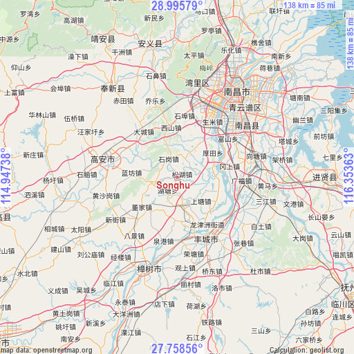
Songhu GPS coordinates[2]
28° 22' 44.328" North, 115° 39' 1.8" East
| Map corner | latitude | longitude |
|---|---|---|
| Upper-left | 28.99579°, | 114.94738° |
| Center: | 28.37898°, | 115.6505° |
| Lower-right: | 27.75856°, | 116.35363° |
| Map W x H: | 137.6×137.6 km | = 85.5×85.5mi |
| max Lat: | 53.31946° ⇑70.8% North |
| Songhu: | 28.37898° |
| min Lat: | ⇓29.2% South 18.22056° |
| min Long | Songhu | max Long |
| 75.07348° | 115.6505° | 134.28917° |
| W 57.9%⇐ | ⇒42.1% E |
Elevation
Elevation of Songhu is 26 m = 85 ft, and this is 458.8 m = 1505 ft below average elevation for this country.
| Max E: |
5622 m = 18445 ft | 80.2% |
| Avg. | 484.8 m = 1591 ft | |
| Songhu | 26 m = 85 ft | |
Min E: |
-3 m = -10 ft | 19.8% |
See also: China elevation on elevation.city.
Geographical zone
Songhu is located in North temperate zone (between Tropic of Cancer and the Arctic Circle). Distance of this Northern Tropic circle is 549.5 km =341.4 mi to South.| Distance of | km | miles | from Songhu |
|---|---|---|---|
| North Pole | 6851.6 | 4257.4 | to North |
| Arctic Circle | 4245.7 | 2638.2 | to North |
| Tropic Cancer | 549.5 | 341.4 | to South |
| Equator | 3155.4 | 1960.7 | to South |


Nearby cities:
15 places around Songhu: (largest is in red/bold)
• Dacheng
21.9 km =13.6 mi,  323°
323°
• Dongjia
18 km =11.2 mi,  229°
229°
• Gangshang
21.2 km =13.2 mi,  78°
78°
• Houtian
16.7 km =10.4 mi,  55°
55°
• Huangcheng
8.9 km =5.5 mi,  256°
256°
• Hutang
7.2 km =4.5 mi,  211°
211°
• Lanfangzhen
18 km =11.2 mi,  275°
275°
• Liuhu
12.3 km =7.6 mi,  34°
34°
• Meilin
11.1 km =6.9 mi,  176°
176°
• Qujiang
20.1 km =12.5 mi,  136°
136°
• Shangtang
12.6 km =7.8 mi, 140°
• Shangzhuang
14.1 km =8.8 mi,  167°
167°
• Shigang
7.5 km =4.7 mi,  340°
340°
• Tongtianxiang
16.5 km =10.3 mi,  108°
108°
• Xishan
19.4 km =12.1 mi,  352°
352°
Sources, notices
• [Note1] Compared only with cities in China existing in our database
• [Src1] Map data: © OpenStreetMap contributors (CC-BY-SA)
• [Src2] Other city data from geonames.org with taken over terms of usage.
• [Src3] Geographical zone / Annual Mean Temperature by Robert A. Rohde @ Wikipedia
