Shichuan geodata
Shichuan (Chongqing) is a seat of a fourth-order administrative division; located in China in Asia/Shanghai (GMT+8) time zone. In our database, there are 1268 cities with bigger population. Compared to other cities in China, 56.7% of cities are located further ↑North; 84.2% of cities are located further →East and 60.4% of cities have lower elevation than Shichuan. Note1


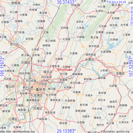
Shichuan GPS coordinates[2]
29° 45' 57.024" North, 106° 49' 22.224" East
| Map corner | latitude | longitude |
|---|---|---|
| Upper-left | 30.37433°, | 106.11972° |
| Center: | 29.76584°, | 106.82284° |
| Lower-right: | 29.15363°, | 107.52597° |
| Map W x H: | 135.7×135.7 km | = 84.3×84.3mi |
| max Lat: | 53.31946° ⇑56.7% North |
| Shichuan: | 29.76584° |
| min Lat: | ⇓43.3% South 18.22056° |
| min Long | Shichuan | max Long |
| 75.07348° | 106.82284° | 134.28917° |
| W 15.8%⇐ | ⇒84.2% E |
Elevation
Elevation of Shichuan is 265 m = 869 ft, and this is 219.8 m = 721 ft below average elevation for this country.
| Max E: |
5622 m = 18445 ft | 39.6% |
| Avg. | 484.8 m = 1591 ft | |
| Shichuan | 265 m = 869 ft | |
Min E: |
-3 m = -10 ft | 60.4% |
See also: China elevation on elevation.city.
Geographical zone
Shichuan is located in North temperate zone (between Tropic of Cancer and the Arctic Circle). Distance of this Northern Tropic circle is 703.7 km =437.3 mi to South.| Distance of | km | miles | from Shichuan |
|---|---|---|---|
| North Pole | 6697.4 | 4161.6 | to North |
| Arctic Circle | 4091.5 | 2542.3 | to North |
| Tropic Cancer | 703.7 | 437.3 | to South |
| Equator | 3309.7 | 2056.6 | to South |


Nearby cities:
15 places around Shichuan: (largest is in red/bold)
• Dasheng
15.6 km =9.7 mi,  27°
27°
• Fusheng
13.5 km =8.4 mi,  192°
192°
• Gulu
11.2 km =7 mi,  316°
316°
• Jiangnan
20.9 km =13 mi,  81°
81°
• Longxing
7.7 km =4.8 mi,  203°
203°
• Luoqi
12.1 km =7.5 mi,  118°
118°
• Maliuzui
14.2 km =8.8 mi, 124°
• Mu’er
17.8 km =11.1 mi,  284°
284°
• Shuangfengqiao
19.6 km =12.2 mi,  254°
254°
• Shuanghekou
18.8 km =11.7 mi,  150°
150°
• Tongjing
10.3 km =6.4 mi,  11°
11°
• Wubao
14.9 km =9.3 mi,  177°
177°
• Xinglong
17.7 km =11 mi, 320°
• Yufengshan
18.9 km =11.7 mi,  233°
233°
• Yuzui
17.2 km =10.7 mi, 199°
Sources, notices
• [Note1] Compared only with cities in China existing in our database
• [Src1] Map data: © OpenStreetMap contributors (CC-BY-SA)
• [Src2] Other city data from geonames.org with taken over terms of usage.
• [Src3] Geographical zone / Annual Mean Temperature by Robert A. Rohde @ Wikipedia
