Yanta geodata
Yanta (Shandong) is a seat of a third-order administrative division; located in China in Asia/Shanghai (GMT+8) time zone. With population of 79,196 people, there are 537 cities with bigger population in this country. Compared to other cities in China, 77.7% of cities are located further ↓South; 58% of cities are located further ←West and 73.3% of cities have higher elevation than Yanta. Note1


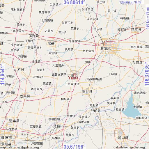
Yanta GPS coordinates[2]
36° 14' 27.996" North, 115° 40' 1.992" East
| Map corner | latitude | longitude |
|---|---|---|
| Upper-left | 36.80614°, | 114.9641° |
| Center: | 36.24111°, | 115.66722° |
| Lower-right: | 35.67196°, | 116.37035° |
| Map W x H: | 126.1×126.1 km | = 78.4×78.4mi |
| max Lat: | 53.31946° ⇑22.3% North |
| Yanta: | 36.24111° |
| min Lat: | ⇓77.7% South 18.22056° |
| min Long | Yanta | max Long |
| 75.07348° | 115.66722° | 134.28917° |
| W 58%⇐ | ⇒42% E |
Elevation
Elevation of Yanta is 41 m = 135 ft, and this is 443.8 m = 1456 ft below average elevation for this country.
| Max E: |
5622 m = 18445 ft | 73.3% |
| Avg. | 484.8 m = 1591 ft | |
| Yanta | 41 m = 135 ft | |
Min E: |
-3 m = -10 ft | 26.7% |
See also: Yanta elevation on elevation.city.
Geographical zone
Yanta is located in North temperate zone (between Tropic of Cancer and the Arctic Circle). Distance of this Northern Tropic circle is 1423.7 km =884.6 mi to South.| Distance of | km | miles | from Yanta |
|---|---|---|---|
| North Pole | 5977.4 | 3714.2 | to North |
| Arctic Circle | 3371.5 | 2095 | to North |
| Tropic Cancer | 1423.7 | 884.6 | to South |
| Equator | 4029.6 | 2503.9 | to South |


Nearby cities:
15 places around Yanta: (largest is in red/bold)
• Daming
47.2 km =29.3 mi,  276°
276°
• Dongliang’erzhuang
65.4 km =40.6 mi,  325°
325°
• Dongluqiao
57 km =35.4 mi, 329°
• Fan Xian Chengguanzhen
45.1 km =28 mi,  199°
199°
• Guancheng
33.8 km =21 mi,  321°
321°
• Guantao
47.9 km =29.8 mi,  314°
314°
• Gulou
34.9 km =21.7 mi,  49°
49°
• Liaocheng
36.7 km =22.8 mi, 49°
• Nanle Chengguanzhen
45.9 km =28.5 mi,  246°
246°
• Qingfeng Chengguanzhen
62.9 km =39.1 mi,  233°
233°
• Qingnian
66.7 km =41.4 mi,  3°
3°
• Xiying
40.6 km =25.2 mi,  304°
304°
• Yanggu
17.5 km =10.9 mi,  146°
146°
• Yangying
53.4 km =33.2 mi, 151°
• Zhoucheng
68.5 km =42.6 mi,  122°
122°
Sources, notices
• [Note1] Compared only with cities in China existing in our database
• [Src1] Map data: © OpenStreetMap contributors (CC-BY-SA)
• [Src2] Other city data from geonames.org with taken over terms of usage.
• [Src3] Geographical zone / Annual Mean Temperature by Robert A. Rohde @ Wikipedia
