Guancheng geodata
Guancheng (Shandong) is a seat of a third-order administrative division; located in China in Asia/Shanghai (GMT+8) time zone. In our database, there are 1268 cities with bigger population. Compared to other cities in China, 78.2% of cities are located further ↓South; 56.6% of cities are located further ←West and 71.9% of cities have higher elevation than Guancheng. Note1


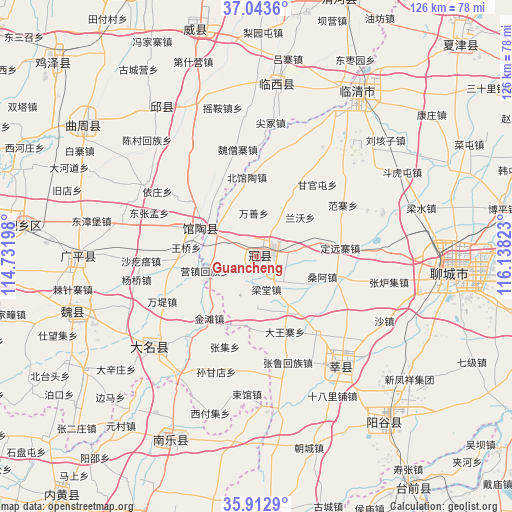
Guancheng GPS coordinates[2]
36° 28' 49.116" North, 115° 26' 6.36" East
| Map corner | latitude | longitude |
|---|---|---|
| Upper-left | 37.0436°, | 114.73198° |
| Center: | 36.48031°, | 115.4351° |
| Lower-right: | 35.9129°, | 116.13823° |
| Map W x H: | 125.7×125.7 km | = 78.1×78.1mi |
| max Lat: | 53.31946° ⇑21.8% North |
| Guancheng: | 36.48031° |
| min Lat: | ⇓78.2% South 18.22056° |
| min Long | Guancheng | max Long |
| 75.07348° | 115.4351° | 134.28917° |
| W 56.6%⇐ | ⇒43.4% E |
Elevation
Elevation of Guancheng is 45 m = 148 ft, and this is 439.8 m = 1443 ft below average elevation for this country.
| Max E: |
5622 m = 18445 ft | 71.9% |
| Avg. | 484.8 m = 1591 ft | |
| Guancheng | 45 m = 148 ft | |
Min E: |
-3 m = -10 ft | 28.1% |
See also: China elevation on elevation.city.
Geographical zone
Guancheng is located in North temperate zone (between Tropic of Cancer and the Arctic Circle). Distance of this Northern Tropic circle is 1450.3 km =901.2 mi to South.| Distance of | km | miles | from Guancheng |
|---|---|---|---|
| North Pole | 5950.8 | 3697.7 | to North |
| Arctic Circle | 3344.9 | 2078.4 | to North |
| Tropic Cancer | 1450.3 | 901.2 | to South |
| Equator | 4056.2 | 2520.4 | to South |


Nearby cities:
15 places around Guancheng: (largest is in red/bold)
• Chensan
39.2 km =24.4 mi,  316°
316°
• Daming
33.9 km =21.1 mi,  230°
230°
• Dongliang’erzhuang
31.8 km =19.8 mi,  329°
329°
• Dongluqiao
23.9 km =14.9 mi,  339°
339°
• Gaobeijie
47.4 km =29.5 mi,  27°
27°
• Guantao
15.2 km =9.4 mi,  296°
296°
• Gulou
47.5 km =29.5 mi,  94°
94°
• Liaocheng
48.6 km =30.2 mi, 93°
• Nanle Chengguanzhen
49.7 km =30.9 mi,  205°
205°
• Qiangezhai
54 km =33.6 mi,  354°
354°
• Qingnian
47 km =29.2 mi, 31°
• Xinmatou
44.4 km =27.6 mi, 327°
• Xiying
13.1 km =8.1 mi,  254°
254°
• Yanggu
51.2 km =31.8 mi,  143°
143°
• Yanta
33.8 km =21 mi, 141°
Sources, notices
• [Note1] Compared only with cities in China existing in our database
• [Src1] Map data: © OpenStreetMap contributors (CC-BY-SA)
• [Src2] Other city data from geonames.org with taken over terms of usage.
• [Src3] Geographical zone / Annual Mean Temperature by Robert A. Rohde @ Wikipedia
