Gulou geodata
Gulou (Shandong) is a seat of a third-order administrative division; located in China in Asia/Shanghai (GMT+8) time zone. In our database, there are 1268 cities with bigger population. Compared to other cities in China, 78.1% of cities are located further ↓South; 59.8% of cities are located further ←West and 73.3% of cities have higher elevation than Gulou. Note1


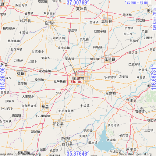
Gulou GPS coordinates[2]
36° 26' 38.904" North, 115° 57' 51.048" East
| Map corner | latitude | longitude |
|---|---|---|
| Upper-left | 37.00769°, | 115.26106° |
| Center: | 36.44414°, | 115.96418° |
| Lower-right: | 35.87646°, | 116.66731° |
| Map W x H: | 125.8×125.8 km | = 78.2×78.2mi |
| max Lat: | 53.31946° ⇑21.9% North |
| Gulou: | 36.44414° |
| min Lat: | ⇓78.1% South 18.22056° |
| min Long | Gulou | max Long |
| 75.07348° | 115.96418° | 134.28917° |
| W 59.8%⇐ | ⇒40.2% E |
Elevation
Elevation of Gulou is 41 m = 135 ft, and this is 443.8 m = 1456 ft below average elevation for this country.
| Max E: |
5622 m = 18445 ft | 73.3% |
| Avg. | 484.8 m = 1591 ft | |
| Gulou | 41 m = 135 ft | |
Min E: |
-3 m = -10 ft | 26.7% |
See also: China elevation on elevation.city.
Geographical zone
Gulou is located in North temperate zone (between Tropic of Cancer and the Arctic Circle). Distance of this Northern Tropic circle is 1446.3 km =898.7 mi to South.| Distance of | km | miles | from Gulou |
|---|---|---|---|
| North Pole | 5954.9 | 3700.2 | to North |
| Arctic Circle | 3349 | 2081 | to North |
| Tropic Cancer | 1446.3 | 898.7 | to South |
| Equator | 4052.2 | 2517.9 | to South |


Nearby cities:
15 places around Gulou: (largest is in red/bold)
• Changqing
69.4 km =43.1 mi,  79°
79°
• Dongluqiao
61.6 km =38.3 mi,  295°
295°
• Gaobeijie
52.4 km =32.6 mi,  331°
331°
• Guancheng
47.5 km =29.5 mi,  274°
274°
• Guantao
61.8 km =38.4 mi,  280°
280°
• Liaocheng
1.8 km =1.1 mi,  42°
42°
• Liuzhuang
64.5 km =40.1 mi,  344°
344°
• Nancheng
56.2 km =34.9 mi,  3°
3°
• Pingyin
46.7 km =29 mi,  112°
112°
• Qingnian
49.5 km =30.8 mi, 332°
• Xiying
59.9 km =37.2 mi, 270°
• Yanggu
40.8 km =25.4 mi,  204°
204°
• Yanta
34.9 km =21.7 mi,  229°
229°
• Youfang
65.4 km =40.6 mi, 344°
• Zhoucheng
66.9 km =41.6 mi,  152°
152°
Sources, notices
• [Note1] Compared only with cities in China existing in our database
• [Src1] Map data: © OpenStreetMap contributors (CC-BY-SA)
• [Src2] Other city data from geonames.org with taken over terms of usage.
• [Src3] Geographical zone / Annual Mean Temperature by Robert A. Rohde @ Wikipedia
