Meicheng geodata
Meicheng (Anhui) is a seat of a third-order administrative division; located in China in Asia/Shanghai (GMT+8) time zone. In our database, there are 1268 cities with bigger population. Compared to other cities in China, 51.5% of cities are located further ↓South; 63.6% of cities are located further ←West and 78.8% of cities have higher elevation than Meicheng. Note1


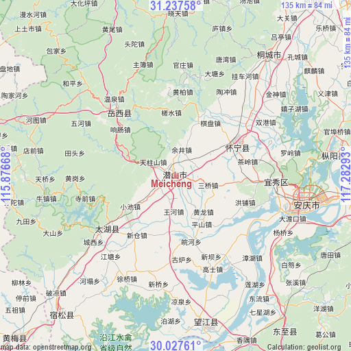
Meicheng GPS coordinates[2]
30° 38' 4.164" North, 116° 34' 47.28" East
| Map corner | latitude | longitude |
|---|---|---|
| Upper-left | 31.23758°, | 115.87668° |
| Center: | 30.63449°, | 116.5798° |
| Lower-right: | 30.02761°, | 117.28293° |
| Map W x H: | 134.5×134.5 km | = 83.6×83.6mi |
| max Lat: | 53.31946° ⇑48.5% North |
| Meicheng: | 30.63449° |
| min Lat: | ⇓51.5% South 18.22056° |
| min Long | Meicheng | max Long |
| 75.07348° | 116.5798° | 134.28917° |
| W 63.6%⇐ | ⇒36.4% E |
Elevation
Elevation of Meicheng is 29 m = 95 ft, and this is 455.8 m = 1495 ft below average elevation for this country.
| Max E: |
5622 m = 18445 ft | 78.8% |
| Avg. | 484.8 m = 1591 ft | |
| Meicheng | 29 m = 95 ft | |
Min E: |
-3 m = -10 ft | 21.2% |
See also: China elevation on elevation.city.
Geographical zone
Meicheng is located in North temperate zone (between Tropic of Cancer and the Arctic Circle). Distance of this Northern Tropic circle is 800.3 km =497.3 mi to South.| Distance of | km | miles | from Meicheng |
|---|---|---|---|
| North Pole | 6600.8 | 4101.5 | to North |
| Arctic Circle | 3994.9 | 2482.3 | to North |
| Tropic Cancer | 800.3 | 497.3 | to South |
| Equator | 3406.2 | 2116.5 | to South |


Nearby cities:
15 places around Meicheng: (largest is in red/bold)
• Anqing
46.7 km =29 mi,  106°
106°
• Fuyu
69.8 km =43.4 mi,  219°
219°
• Gaohe
27.8 km =17.3 mi,  64°
64°
• Huangmei
72.4 km =45 mi,  227°
227°
• Jinxi
35.6 km =22.1 mi, 230°
• Leiyang
58 km =36 mi,  170°
170°
• Liulin
72.2 km =44.9 mi,  235°
235°
• Madang
71.9 km =44.7 mi, 174°
• Tanlin
71 km =44.1 mi,  259°
259°
• Taojiahe
68.9 km =42.8 mi,  296°
296°
• Tiantang
32.5 km =20.2 mi,  317°
317°
• Tongcheng
58.6 km =36.4 mi,  39°
39°
• Yaodu
72.7 km =45.2 mi,  144°
144°
• Yijin
67 km =41.6 mi, 61°
• Zongyang
60.1 km =37.3 mi,  83°
83°
Sources, notices
• [Note1] Compared only with cities in China existing in our database
• [Src1] Map data: © OpenStreetMap contributors (CC-BY-SA)
• [Src2] Other city data from geonames.org with taken over terms of usage.
• [Src3] Geographical zone / Annual Mean Temperature by Robert A. Rohde @ Wikipedia
