Jiuxijiang geodata
Jiuxijiang (Hunan) is a populated place; located in China in Asia/Shanghai (GMT+8) time zone. With population of 770 people, there are 1221 cities with bigger population in this country. Compared to other cities in China, 76% of cities are located further ↑North; 68.6% of cities are located further →East and 57.2% of cities have lower elevation than Jiuxijiang. Note1


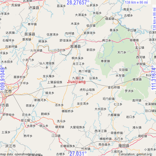
Jiuxijiang GPS coordinates[2]
27° 39' 20.016" North, 110° 36' 48.996" East
| Map corner | latitude | longitude |
|---|---|---|
| Upper-left | 28.27657°, | 109.91049° |
| Center: | 27.65556°, | 110.61361° |
| Lower-right: | 27.031°, | 111.31674° |
| Map W x H: | 138.5×138.5 km | = 86.1×86.1mi |
| max Lat: | 53.31946° ⇑76% North |
| Jiuxijiang: | 27.65556° |
| min Lat: | ⇓24% South 18.22056° |
| min Long | Jiuxijiang | max Long |
| 75.07348° | 110.61361° | 134.28917° |
| W 31.4%⇐ | ⇒68.6% E |
Elevation
Elevation of Jiuxijiang is 227 m = 745 ft, and this is 257.8 m = 846 ft below average elevation for this country.
| Max E: |
5622 m = 18445 ft | 42.8% |
| Avg. | 484.8 m = 1591 ft | |
| Jiuxijiang | 227 m = 745 ft | |
Min E: |
-3 m = -10 ft | 57.2% |
See also: China elevation on elevation.city.
Geographical zone
Jiuxijiang is located in North temperate zone (between Tropic of Cancer and the Arctic Circle). Distance of this Northern Tropic circle is 469.1 km =291.5 mi to South.| Distance of | km | miles | from Jiuxijiang |
|---|---|---|---|
| North Pole | 6932.1 | 4307.4 | to North |
| Arctic Circle | 4326.2 | 2688.2 | to North |
| Tropic Cancer | 469.1 | 291.5 | to South |
| Equator | 3075 | 1910.7 | to South |


Nearby cities:
15 places around Jiuxijiang: (largest is in red/bold)
• Huangjinjing
28.4 km =17.6 mi,  105°
105°
• Huangmaoyuan
31.1 km =19.3 mi,  206°
206°
• Huangxikou
23.6 km =14.7 mi,  287°
287°
• Huxingshan
14.4 km =8.9 mi,  145°
145°
• Liangyaping
9 km =5.6 mi,  38°
38°
• Longtan
28.2 km =17.5 mi,  195°
195°
• Longtou’an
27.4 km =17 mi,  273°
273°
• Lufeng
28.4 km =17.6 mi,  354°
354°
• Matangshan
30.8 km =19.1 mi,  165°
165°
• Tongmuxi
18 km =11.2 mi,  358°
358°
• Tongxihe
11.7 km =7.3 mi,  331°
331°
• Xianrenwan
30 km =18.6 mi, 291°
• Xiaohenglong
11.1 km =6.9 mi,  239°
239°
• Xiaojiangkou
29.9 km =18.6 mi, 326°
• Xiaoshajiang
20 km =12.4 mi,  138°
138°
Sources, notices
• [Note1] Compared only with cities in China existing in our database
• [Src1] Map data: © OpenStreetMap contributors (CC-BY-SA)
• [Src2] Other city data from geonames.org with taken over terms of usage.
• [Src3] Geographical zone / Annual Mean Temperature by Robert A. Rohde @ Wikipedia
