Jiangkou geodata
Jiangkou (Hunan) is a populated place; located in China in Asia/Shanghai (GMT+8) time zone. With population of 940 people, there are 1189 cities with bigger population in this country. Compared to other cities in China, 77.8% of cities are located further ↑North; 69.5% of cities are located further →East and 74.5% of cities have lower elevation than Jiangkou. Note1


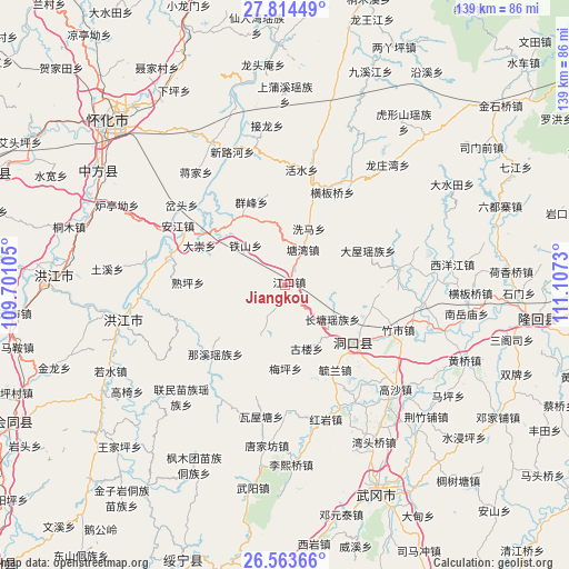
Jiangkou GPS coordinates[2]
27° 11' 26.988" North, 110° 24' 15.012" East
| Map corner | latitude | longitude |
|---|---|---|
| Upper-left | 27.81449°, | 109.70105° |
| Center: | 27.19083°, | 110.40417° |
| Lower-right: | 26.56366°, | 111.1073° |
| Map W x H: | 139.1×139.1 km | = 86.4×86.4mi |
| max Lat: | 53.31946° ⇑77.8% North |
| Jiangkou: | 27.19083° |
| min Lat: | ⇓22.2% South 18.22056° |
| min Long | Jiangkou | max Long |
| 75.07348° | 110.40417° | 134.28917° |
| W 30.5%⇐ | ⇒69.5% E |
Elevation
Elevation of Jiangkou is 511 m = 1677 ft, and this is 26.2 m = 86 ft above average elevation for this country.
| Max E: |
5622 m = 18445 ft | 25.5% |
| Jiangkou | 511 m 1677 ft | |
| Avg. | 484.8 m = 1591 ft | |
Min E: |
-3 m = -10 ft | 74.5% |
See also: China elevation on elevation.city.
Geographical zone
Jiangkou is located in North temperate zone (between Tropic of Cancer and the Arctic Circle). Distance of this Northern Tropic circle is 417.4 km =259.4 mi to South.| Distance of | km | miles | from Jiangkou |
|---|---|---|---|
| North Pole | 6983.7 | 4339.5 | to North |
| Arctic Circle | 4377.8 | 2720.2 | to North |
| Tropic Cancer | 417.4 | 259.4 | to South |
| Equator | 3023.3 | 1878.6 | to South |


Nearby cities:
15 places around Jiangkou: (largest is in red/bold)
• Anjiang
33 km =20.5 mi,  295°
295°
• Daping
19.4 km =12.1 mi,  329°
329°
• Dongkou
20.2 km =12.6 mi,  139°
139°
• Huangmaoyuan
24.7 km =15.3 mi,  16°
16°
• Huangtukuang
30.6 km =19 mi,  179°
179°
• Huayuan
33.5 km =20.8 mi,  157°
157°
• Longtan
27.8 km =17.3 mi,  28°
28°
• Matangshan
36 km =22.4 mi,  52°
52°
• Ma’an
39.3 km =24.4 mi,  127°
127°
• Shanmen
28.8 km =17.9 mi,  82°
82°
• Shawan
37.2 km =23.1 mi,  271°
271°
• Shuping
27 km =16.8 mi, 269°
• Tangjiafang
39.2 km =24.4 mi,  185°
185°
• Tiepo
29.9 km =18.6 mi,  355°
355°
• Zhushi
29.3 km =18.2 mi,  113°
113°
Sources, notices
• [Note1] Compared only with cities in China existing in our database
• [Src1] Map data: © OpenStreetMap contributors (CC-BY-SA)
• [Src2] Other city data from geonames.org with taken over terms of usage.
• [Src3] Geographical zone / Annual Mean Temperature by Robert A. Rohde @ Wikipedia
