Donggong geodata
Donggong (Hubei) is a seat of a fourth-order administrative division; located in China in Asia/Shanghai (GMT+8) time zone. In our database, there are 1268 cities with bigger population. Compared to other cities in China, 57.3% of cities are located further ↓South; 63.4% of cities are located further →East and 51.9% of cities have lower elevation than Donggong. Note1


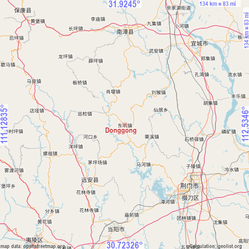
Donggong GPS coordinates[2]
31° 19' 32.88" North, 111° 49' 53.292" East
| Map corner | latitude | longitude |
|---|---|---|
| Upper-left | 31.9245°, | 111.12835° |
| Center: | 31.3258°, | 111.83147° |
| Lower-right: | 30.72326°, | 112.5346° |
| Map W x H: | 133.6×133.6 km | = 83×83mi |
| max Lat: | 53.31946° ⇑42.7% North |
| Donggong: | 31.3258° |
| min Lat: | ⇓57.3% South 18.22056° |
| min Long | Donggong | max Long |
| 75.07348° | 111.83147° | 134.28917° |
| W 36.6%⇐ | ⇒63.4% E |
Elevation
Elevation of Donggong is 180 m = 591 ft, and this is 304.8 m = 1000 ft below average elevation for this country.
| Max E: |
5622 m = 18445 ft | 48.1% |
| Avg. | 484.8 m = 1591 ft | |
| Donggong | 180 m = 591 ft | |
Min E: |
-3 m = -10 ft | 51.9% |
See also: China elevation on elevation.city.
Geographical zone
Donggong is located in North temperate zone (between Tropic of Cancer and the Arctic Circle). Distance of this Northern Tropic circle is 877.2 km =545.1 mi to South.| Distance of | km | miles | from Donggong |
|---|---|---|---|
| North Pole | 6524 | 4053.8 | to North |
| Arctic Circle | 3918.1 | 2434.6 | to North |
| Tropic Cancer | 877.2 | 545.1 | to South |
| Equator | 3483.1 | 2164.3 | to South |


Nearby cities:
15 places around Donggong: (largest is in red/bold)
• Banqiao
32.5 km =20.2 mi,  314°
314°
• Hekou
19.4 km =12.1 mi,  251°
251°
• Hualinsi
41.5 km =25.8 mi,  210°
210°
• Jiuxian
31.2 km =19.4 mi,  223°
223°
• Liuhou
25.3 km =15.7 mi,  45°
45°
• Lixi
15.6 km =9.7 mi,  112°
112°
• Mahe
22.8 km =14.2 mi,  154°
154°
• Maopingchang
25.2 km =15.7 mi, 216°
• Mingfeng
34.4 km =21.4 mi, 211°
• Shiqiaoyi
37.5 km =23.3 mi,  101°
101°
• Xianju
20.9 km =13 mi,  66°
66°
• Xiaoyan
19.1 km =11.9 mi,  340°
340°
• Xueping
37.9 km =23.5 mi, 335°
• Xunjian
21.9 km =13.6 mi,  287°
287°
• Yangping
28.7 km =17.8 mi, 246°
Sources, notices
• [Note1] Compared only with cities in China existing in our database
• [Src1] Map data: © OpenStreetMap contributors (CC-BY-SA)
• [Src2] Other city data from geonames.org with taken over terms of usage.
• [Src3] Geographical zone / Annual Mean Temperature by Robert A. Rohde @ Wikipedia
