Xi Ail geodata
Xi Ail (Jilin) is a seat of a fourth-order administrative division; located in China in Asia/Shanghai (GMT+8) time zone. In our database, there are 1268 cities with bigger population. Compared to other cities in China, 93.8% of cities are located further ↓South; 92.5% of cities are located further ←West and 51.3% of cities have higher elevation than Xi Ail. Note1


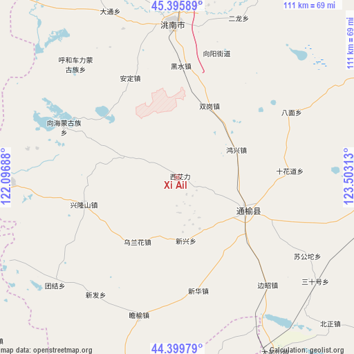
Xi Ail GPS coordinates[2]
44° 54' 0" North, 122° 48' 0" East
| Map corner | latitude | longitude |
|---|---|---|
| Upper-left | 45.39589°, | 122.09688° |
| Center: | 44.9°, | 122.8° |
| Lower-right: | 44.39979°, | 123.50313° |
| Map W x H: | 110.8×110.8 km | = 68.8×68.8mi |
| max Lat: | 53.31946° ⇑6.2% North |
| Xi Ail: | 44.9° |
| min Lat: | ⇓93.8% South 18.22056° |
| min Long | Xi Ail | max Long |
| 75.07348° | 122.8° | 134.28917° |
| W 92.5%⇐ | ⇒7.5% E |
Elevation
Elevation of Xi Ail is 154 m = 505 ft, and this is 330.8 m = 1085 ft below average elevation for this country.
| Max E: |
5622 m = 18445 ft | 51.3% |
| Avg. | 484.8 m = 1591 ft | |
| Xi Ail | 154 m = 505 ft | |
Min E: |
-3 m = -10 ft | 48.7% |
See also: China elevation on elevation.city.
Geographical zone
Xi Ail is located in North temperate zone (between Tropic of Cancer and the Arctic Circle). Distance of this Northern Tropic circle is 2386.5 km =1482.9 mi to South.| Distance of | km | miles | from Xi Ail |
|---|---|---|---|
| North Pole | 5014.6 | 3115.9 | to North |
| Arctic Circle | 2408.8 | 1496.8 | to North |
| Tropic Cancer | 2386.5 | 1482.9 | to South |
| Equator | 4992.4 | 3102.1 | to South |


Nearby cities:
15 places around Xi Ail: (largest is in red/bold)
• Anding
33.6 km =20.9 mi,  332°
332°
• Baicheng
78.7 km =48.9 mi,  1°
1°
• Bor Ondor
77.2 km =48 mi,  204°
204°
• Deshun
57.4 km =35.7 mi,  5°
5°
• Gaoliban
78.8 km =49 mi,  268°
268°
• Guangming
48.2 km =30 mi,  358°
358°
• Heishui
33.4 km =20.8 mi, 2°
• Kaitong
29.2 km =18.1 mi,  109°
109°
• Linhai
69 km =42.9 mi, 357°
• Mingren
77.1 km =47.9 mi, 1°
• Shuanggang
24.9 km =15.5 mi,  23°
23°
• Taodong
76.7 km =47.7 mi,  345°
345°
• Xianghai
38.4 km =23.9 mi,  292°
292°
• Xinfa
44.8 km =27.8 mi,  218°
218°
• Xinhua
35.6 km =22.1 mi,  171°
171°
Sources, notices
• [Note1] Compared only with cities in China existing in our database
• [Src1] Map data: © OpenStreetMap contributors (CC-BY-SA)
• [Src2] Other city data from geonames.org with taken over terms of usage.
• [Src3] Geographical zone / Annual Mean Temperature by Robert A. Rohde @ Wikipedia
